File:Mobile Alabama harbor aerial view.jpg
本预览的尺寸:800 × 533像素。 其他分辨率:320 × 213像素 | 640 × 426像素 | 1,024 × 682像素 | 1,500 × 999像素。
原始文件 (1,500 × 999像素,文件大小:664 KB,MIME类型:image/jpeg)
| 描述 |
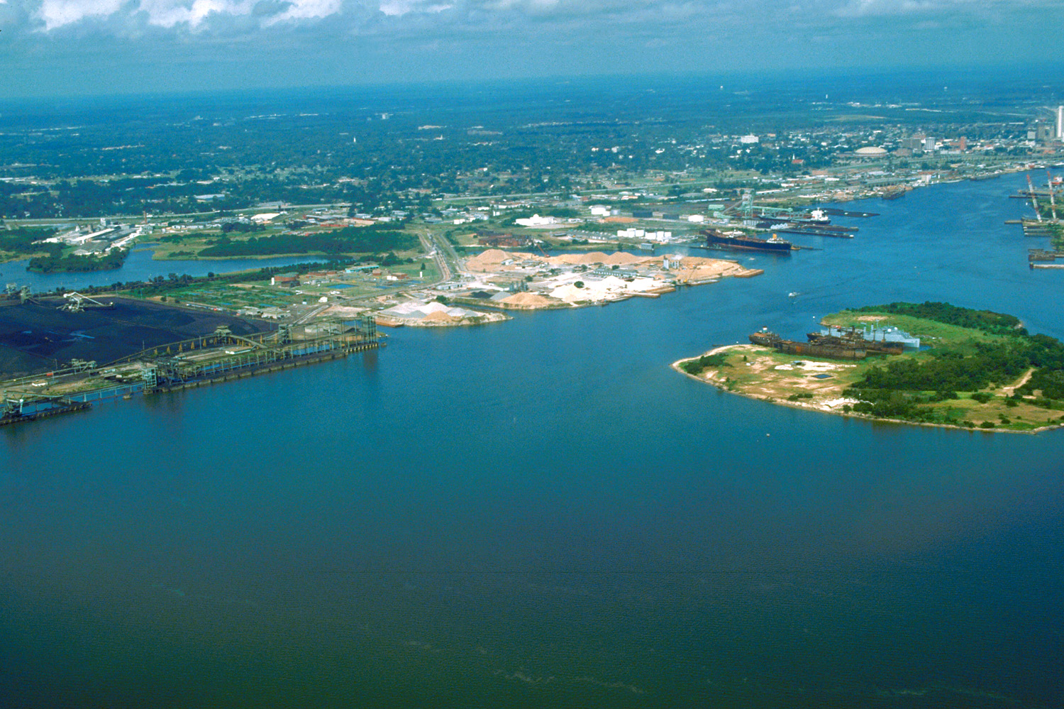
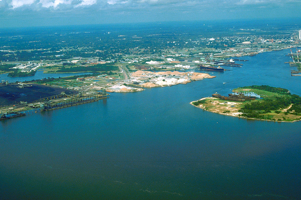
English: Aerial view of the port and city of Mobile, Alabama, USA. The view is from the harbor on Mobile Bay to the northwest over the central area of the city. |
|||
| 图中地点 | Mobile, Alabama, USA 30°39′47.39″N 88°1′59.79″W / 30.6631639°N 88.033275°W |
|||
| 日期 | (Caution: Dates provided by U.S. Army Corps of Engineers web pages are not reliable and are often wrong.) | |||
| 来源 |
U.S. Army Corps of Engineers Digital Visual Library Image page Image description page Digital Visual Library home page |
|||
| 作者 | Adrien Lamarre, U.S. Army Corps of Engineers | |||
| 授权 (二次使用本文件) |
|
文件历史
点击某个日期/时间查看对应时刻的文件。
| 日期/时间 | 缩略图 | 大小 | 用户 | 备注 | |
|---|---|---|---|---|---|
| 当前 | 2007年4月25日 (三) 01:30 | | 1,500 × 999(664 KB) | DanMS | {{Information2 | Description = {{en|Aerial view of the port and city of Mobile, Alabama, USA. The view is from the harbor on Mobile Bay to the northwest over the central area of the city.}} | Source = U.S. Army Corps of Engineers Digital Visual |
文件用途
以下3个页面使用本文件:
全域文件用途
以下其他wiki使用此文件:
- bo.wikipedia.org上的用途
- el.wikipedia.org上的用途
- en.wikipedia.org上的用途
- es.wikipedia.org上的用途
- eu.wikipedia.org上的用途
- fa.wikipedia.org上的用途
- fr.wikipedia.org上的用途
- hsb.wikipedia.org上的用途
- ja.wikipedia.org上的用途
- mk.wikipedia.org上的用途
- nl.wikipedia.org上的用途
- pl.wikipedia.org上的用途
- ru.wikipedia.org上的用途
- tr.wikipedia.org上的用途
- www.wikidata.org上的用途