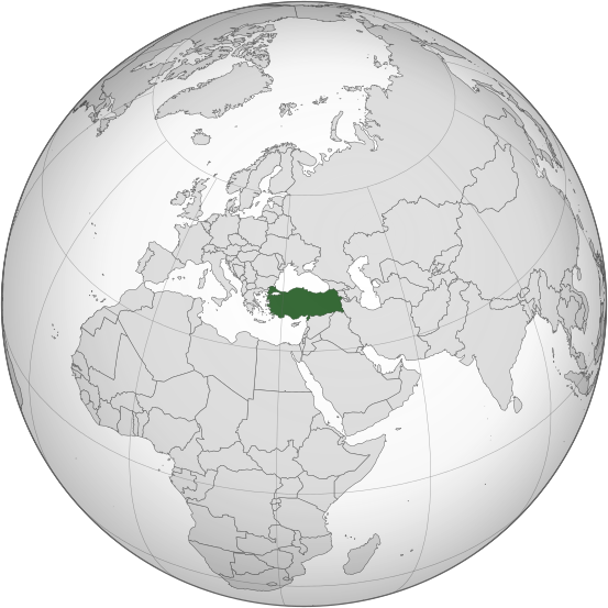
File:Turkey (orthographic projection).svg

此SVG文件的PNG预览的大小:553 × 553像素。 其他分辨率:240 × 240像素 | 480 × 480像素 | 768 × 768像素 | 1,024 × 1,024像素 | 2,048 × 2,048像素。
原始文件 (SVG文件,尺寸为553 × 553像素,文件大小:296 KB)
文件历史
点击某个日期/时间查看对应时刻的文件。
| 日期/时间 | 缩略图 | 大小 | 用户 | 备注 | |
|---|---|---|---|---|---|
| 当前 | 2017年11月10日 (五) 08:43 |  | 553 × 553(296 KB) | SilentResident | Removed semi-transparent green circle overlapping both Turkish and non-Turkish territory |
| 2015年3月16日 (一) 23:24 |  | 553 × 553(296 KB) | Flappiefh | Removed Somaliland and Kosovo. Separated Western Sahara and Morroco. | |
| 2013年8月4日 (日) 16:25 |  | 553 × 553(301 KB) | Flappiefh | Added South Sudan. | |
| 2012年8月11日 (六) 10:22 |  | 680 × 680(235 KB) | The Emirr | The outside border is thinner. | |
| 2012年8月11日 (六) 10:20 |  | 680 × 680(235 KB) | The Emirr | Update. | |
| 2009年9月15日 (二) 13:42 |  | 680 × 680(236 KB) | The Emirr | {{Information |Description={{en|1=The orthographic projection map of Turkey. This illustration was '''all''' made by 100px, '''not''' created by modifying any image. The other orthographic projection maps. <gallery> File:Arg |
文件用途
以下8个页面使用本文件:
全域文件用途
以下其他wiki使用此文件:
- ace.wikipedia.org上的用途
- ady.wikipedia.org上的用途
- af.wikipedia.org上的用途
- ami.wikipedia.org上的用途
- am.wikipedia.org上的用途
- an.wikipedia.org上的用途
- arc.wikipedia.org上的用途
- ar.wikipedia.org上的用途
- تركيا
- معاملة المثليين في تركيا
- قائمة الدول ذات السيادة والأقاليم التابعة في آسيا
- حقوق الإنسان في تركيا
- مستخدم:جار الله/قائمة صور مقالات العلاقات الثنائية
- العلاقات الأنغولية التركية
- العلاقات الإريترية التركية
- العلاقات التركية السويسرية
- العلاقات الألمانية التركية
- العلاقات التركية الليختنشتانية
- العلاقات البوليفية التركية
- العلاقات التركية الموزمبيقية
- العلاقات الألبانية التركية
- العلاقات البلجيكية التركية
- العلاقات الإثيوبية التركية
- العلاقات التركية البيلاروسية
- العلاقات التركية الطاجيكية
- العلاقات التركية الرومانية
- العلاقات الأرجنتينية التركية
- العلاقات التركية الغامبية
- العلاقات التركية القبرصية
- العلاقات التركية السيراليونية
- العلاقات التركية النيبالية
- العلاقات التركية الليبيرية
- العلاقات التشيكية التركية
- العلاقات التركية الميانمارية
- العلاقات التركية الكندية
- العلاقات التركية الزيمبابوية
- العلاقات البالاوية التركية
- العلاقات التركية المالية
- العلاقات التركية النيجيرية
- العلاقات التركية الفانواتية
- العلاقات الغابونية التركية
- العلاقات البنمية التركية
- العلاقات التركية الكوبية
- العلاقات التركية الجورجية
- العلاقات التركية الكورية الشمالية
- العلاقات اليابانية التركية
- العلاقات الإيطالية التركية
- العلاقات التركية الناوروية
- العلاقات الأسترالية التركية
- العلاقات التركية الزامبية
查看本文件的更多全域用途。


