File:United Arab Emirates location map.svg

此SVG文件的PNG预览的大小:697 × 599像素。 其他分辨率:279 × 240像素 | 558 × 480像素 | 893 × 768像素 | 1,191 × 1,024像素 | 2,382 × 2,048像素 | 1,228 × 1,056像素。
原始文件 (SVG文件,尺寸为1,228 × 1,056像素,文件大小:152 KB)
摘要
| 描述 |
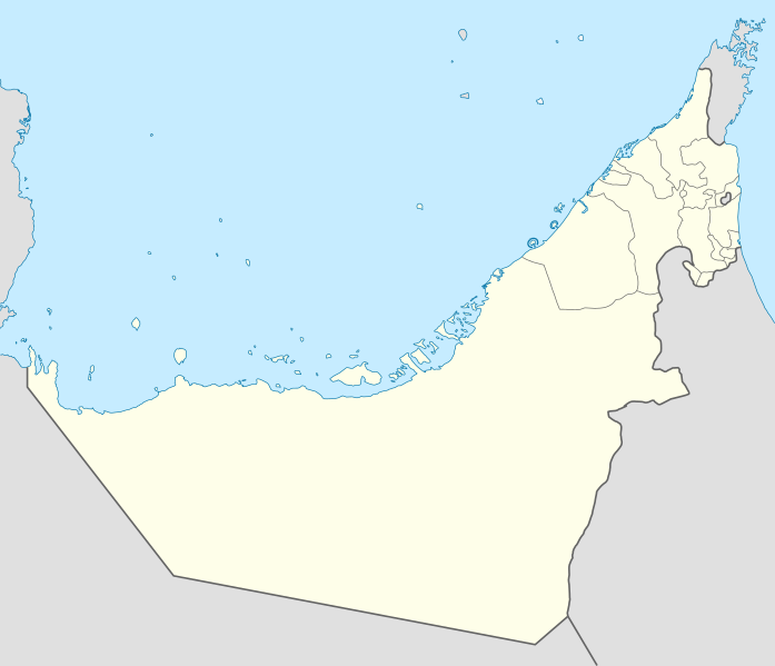
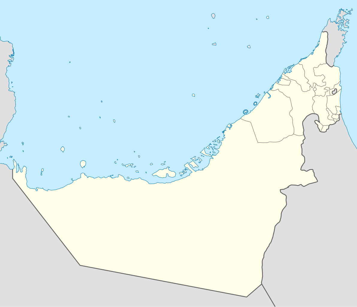
Deutsch: Positionskarte der Vereinigten Arabischen Emirate
Quadratische Plattkarte, N-S-Streckung 109 %. Geographische Begrenzung der Karte:
Equirectangular projection, N/S stretching 109 %. Geographic limits of the map:
|
|
| 日期 | ||
| 来源 |
自己的作品, using
|
|
| 作者 | NordNordWest | |
| 授权 (二次使用本文件) |
本文件采用知识共享署名-相同方式共享 3.0 德国许可协议授权。
 本文件采用知识共享署名-相同方式共享 3.0 德国许可协议授权。
|
|
| 其他版本 |
|


|
|
文件历史
点击某个日期/时间查看对应时刻的文件。
| 日期/时间 | 缩略图 | 大小 | 用户 | 备注 | |
|---|---|---|---|---|---|
| 当前 | 2018年3月3日 (六) 09:19 | | 1,228 × 1,056(152 KB) | Shahin | Reverted to version as of 14:50, 6 August 2013 (UTC) |
| 2018年3月3日 (六) 09:18 |  | 1,228 × 1,056(151 KB) | Shahin | 2017 update | |
| 2013年8月6日 (二) 14:50 |  | 1,228 × 1,056(152 KB) | Chipmunkdavis | Reverted to version as of 09:37, 5 May 2013 Google maps also shows a little bend | |
| 2013年8月6日 (二) 14:45 |  | 1,228 × 1,056(238 KB) | Chipmunkdavis | Reverting to version with border that matches http://www.emirates.org/the_country.html | |
| 2013年5月5日 (日) 09:37 |  | 1,228 × 1,056(152 KB) | NordNordWest | Reverted to version as of 14:16, 14 August 2012; location maps never get labelled | |
| 2013年5月5日 (日) 07:46 |  | 1,228 × 1,056(212 KB) | Fatemi | Reverted to version as of 07:40, 5 May 2013 | |
| 2013年5月5日 (日) 07:44 |  | 1,228 × 1,056(212 KB) | Fatemi | labled | |
| 2013年5月5日 (日) 07:40 |  | 1,228 × 1,056(212 KB) | Fatemi | new version | |
| 2012年8月14日 (二) 14:16 |  | 1,228 × 1,056(152 KB) | NordNordWest | c | |
| 2009年11月2日 (一) 20:02 |  | 1,228 × 1,056(238 KB) | NordNordWest |
文件用途
以下37个页面使用本文件:
- 1985年亞足聯青年錦標賽
- 1990年亞足聯U-16錦標賽
- 1992年亞足聯青年錦標賽
- 1996年亞足聯亞洲盃
- 2002年亞足聯U-17錦標賽
- 2003年國際足協世界青年錦標賽
- 2006年亚洲沙滩足球锦标赛
- 2007年亚洲沙滩足球锦标赛
- 2008年亞洲沙灘足球錦標賽
- 2009年亞洲沙灘足球錦標賽
- 2009年國際足協世界冠軍球會盃
- 2009年國際足協沙灘足球世界盃
- 2010年國際足協世界冠軍球會盃
- 2012年亞足聯U-19錦標賽
- 2012年亞足聯五人制足球錦標賽
- 2013年國際足協U-17世界盃
- 2017年国际足联俱乐部世界杯
- 2018年国际足联俱乐部世界杯
- 2019年亞足聯亞洲盃
- 2021年國際足協世界冠軍球會盃
- 2023–24年阿聯酋阿拉伯海灣聯賽
- 亞洲足球俱樂部列表
- 哈塔 (阿聯酋)
- 富查伊拉 (城市)
- 杜拜
- 沙迦 (城市)
- 沙迦國際機場
- 瓦迪肖卡
- 艾因
- 艾因國際機場
- 謝赫扎耶德大清真寺
- 迪拜国际机场
- 那赫瓦
- 阿勒馬克圖姆國際機場
- 阿布扎比國際機場
- 马斯达尔城
- Template:Location map United Arab Emirates
全域文件用途
以下其他wiki使用此文件:
- af.wikipedia.org上的用途
- als.wikipedia.org上的用途
- ar.wikipedia.org上的用途
- كأس آسيا 1996
- الدوري الإماراتي للمحترفين
- قالب:خريطة مواقع الإمارات العربية المتحدة
- كأس العالم للأندية 2010
- الدوري الإماراتي 2010–11
- كأس العالم تحت 17 سنة لكرة القدم 2013
- الدوري الإماراتي 2011–12
- كأس آسيا 2019
- بطولة العالم للشباب لكرة القدم 2003
- الدوري الإماراتي 2012–13
- كأس العالم للأندية 2017
- كأس العالم للأندية 2018
- جزيرة زركوه
- جزيرة دينا
- جزيرة قرنين
- جزيرة عش
- جزيرة غاغة
- نهائي كأس العالم للأندية 2018
- كأس العالم للأندية 2021
- الدوري الإماراتي للمحترفين 2021–22
- كأس السوبر السعودي 2024
- الدوري الإماراتي 2023–24
- دوري الدرجة الأولى الإماراتي 2015–16
- ast.wikipedia.org上的用途
- Dubái
- The World
- Burj Al Arab
- Burj Khalifa
- Abu Dhabi
- Guggenheim Abu Dhabi
- Islla de Saadiyat
- Marina 101
- Princess Tower
- 23 Marina
- Centru Dubái
- Islla de Yas
- Circuitu Yas Marina
- Módulu:Mapa de llocalización/datos/Emiratos Árabes Xuníos
- Módulu:Mapa de llocalización/datos/Emiratos Árabes Xuníos/usu
- Aeropuertu Internacional de Dubái
查看本文件的更多全域用途。