File:East China Sea location map OSM.svg

此SVG文件的PNG预览的大小:680 × 600像素。 其他分辨率:272 × 240像素 | 544 × 480像素 | 870 × 768像素 | 1,161 × 1,024像素 | 2,321 × 2,048像素 | 1,360 × 1,200像素。
原始文件 (SVG文件,尺寸为1,360 × 1,200像素,文件大小:153 KB)
摘要
| 描述 |
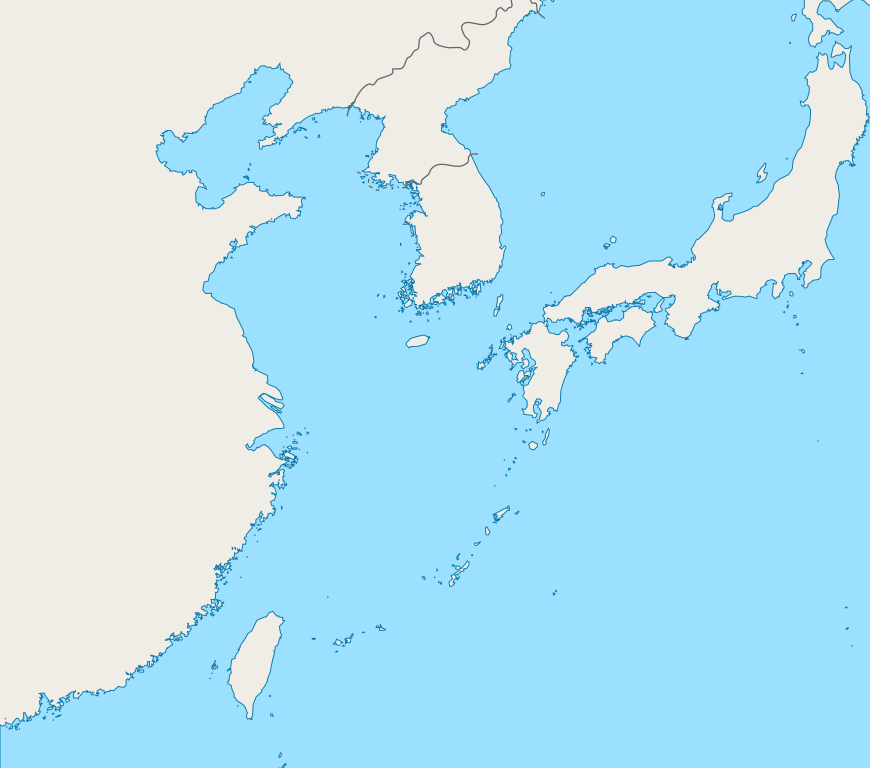
English: Mercator projection map of the East China Sea.
Geographic limits of the map:
|
| 日期 | |
| 来源 | Coastline and border are based on OpenStreetMap. |
| 作者 | OpenStreetMap contributors, and Pekachu |
许可协议
| This work contains information from OpenStreetMap, which is made available under the Open Database License (ODbL).
The ODbL does not require any particular license for maps produced from ODbL data. Prior to 1 August 2020, map tiles produced by the OpenStreetMap Foundation were licensed under the CC-BY-SA-2.0 license. Maps produced by other people may be subject to other licences. |
文件历史
点击某个日期/时间查看对应时刻的文件。
| 日期/时间 | 缩略图 | 大小 | 用户 | 备注 | |
|---|---|---|---|---|---|
| 当前 | 2019年10月5日 (六) 03:13 | | 1,360 × 1,200(153 KB) | Geographyinitiative | The maritime boundary lines were straight lines in the ocean- disputed & inexact at best. Also, the ROC-PRC maritime boundary was not included. The best solution for now is not having any lines. A map with exact maritime boundaries would be useful. |
| 2015年8月10日 (一) 14:25 |  | 1,360 × 1,200(158 KB) | Pekachu | User created page with UploadWizard |
文件用途
没有页面使用本文件。
全域文件用途
以下其他wiki使用此文件:
- ko.wikipedia.org上的用途