File:Europe1815 1905.jpg
本预览的尺寸:759 × 600像素。 其他分辨率:304 × 240像素 | 607 × 480像素 | 972 × 768像素 | 1,280 × 1,012像素 | 1,503 × 1,188像素。
原始文件 (1,503 × 1,188像素,文件大小:823 KB,MIME类型:image/jpeg)
摘要
_en.png)
.png)
.jpg)
许可协议
|
|
 | |
 |
文件历史
点击某个日期/时间查看对应时刻的文件。
| 日期/时间 | 缩略图 | 大小 | 用户 | 备注 | |
|---|---|---|---|---|---|
| 当前 | 2021年6月19日 (六) 12:45 | | 1,503 × 1,188(823 KB) | LeontinaVarlamonva | crop white space |
| 2009年4月24日 (五) 21:22 |  | 1,584 × 1,230(363 KB) | Alex:D | Whitened | |
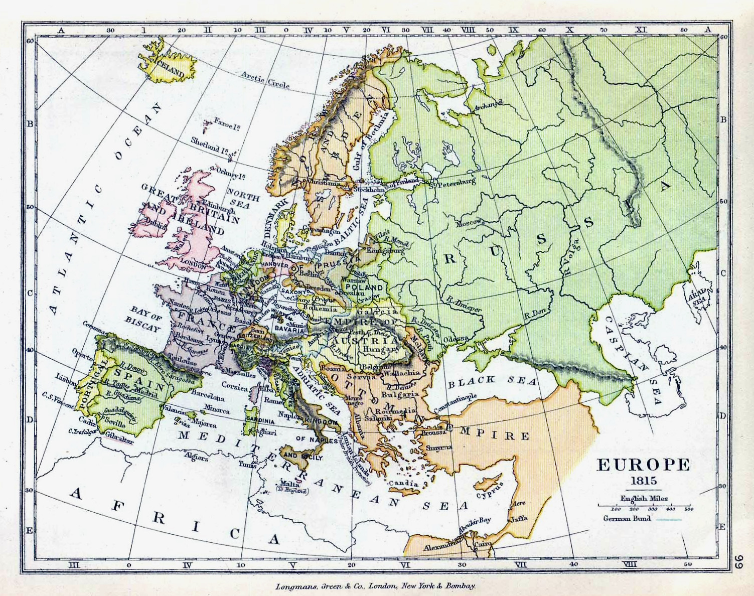
| 2006年4月7日 (五) 12:49 |  | 1,584 × 1,230(293 KB) | Cave cattum | '''Courtesy of the University of Texas Libraries, The University of Texas at Austin.''' {{Information| |Description = Europe 1815 |Source = The Public Schools Historical Atlas edited by C. Colbeck, published by Longmans, Green, and Co. 1905. |Date = |Au |
文件用途
以下2个页面使用本文件:
全域文件用途
以下其他wiki使用此文件:
- cs.wikipedia.org上的用途
- de.wikipedia.org上的用途
- en.wikipedia.org上的用途
- fa.wikipedia.org上的用途
- hy.wikipedia.org上的用途
- ja.wikipedia.org上的用途
- ko.wikipedia.org上的用途
- lt.wikipedia.org上的用途
- mt.wikipedia.org上的用途
- mwl.wikipedia.org上的用途
- pl.wikipedia.org上的用途
- pt.wikipedia.org上的用途
- ro.wikipedia.org上的用途
- vi.wikipedia.org上的用途