File:Haida Gwaii -a.jpg

本预览的尺寸:800 × 600像素。 其他分辨率:320 × 240像素 | 640 × 480像素 | 1,024 × 768像素 | 1,280 × 960像素 | 1,600 × 1,200像素。
原始文件 (1,600 × 1,200像素,文件大小:346 KB,MIME类型:image/jpeg)
| 描述 |
The following is the author's description of the photograph quoted directly from the photograph's Flickr page:
|
||
| 日期 | |||
| 来源 |
originally posted to Flickr as Queen Charlotte Islands (now officially known as Haida Gwaii)
|
||
| 作者 | upyernoz | ||
| 授权 (二次使用本文件) |
|
文件历史
点击某个日期/时间查看对应时刻的文件。
| 日期/时间 | 缩略图 | 大小 | 用户 | 备注 | |
|---|---|---|---|---|---|
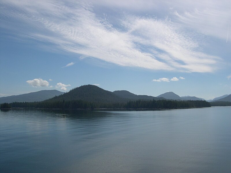
| 当前 | 2009年11月23日 (一) 01:19 | | 1,600 × 1,200(346 KB) | Geo Swan | {{Information |Description=The following is the author's description of the photograph quoted directly from the photograph's Flickr page.<br/>"the bumpy bits are the QCIs. the flat wet-looking bits are still the hecate strait " |Source=originally posted |
文件用途
以下页面使用本文件:
全域文件用途
以下其他wiki使用此文件:
- be.wikipedia.org上的用途
- en.wikipedia.org上的用途
- hy.wikipedia.org上的用途
- nn.wikipedia.org上的用途
- pl.wikipedia.org上的用途
- ru.wikipedia.org上的用途
- uk.wikipedia.org上的用途