File:Iceland adm location map.svg

原始文件 (SVG文件,尺寸为1,186 × 841像素,文件大小:145 KB)
摘要
| 描述 |
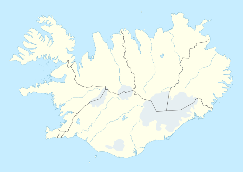
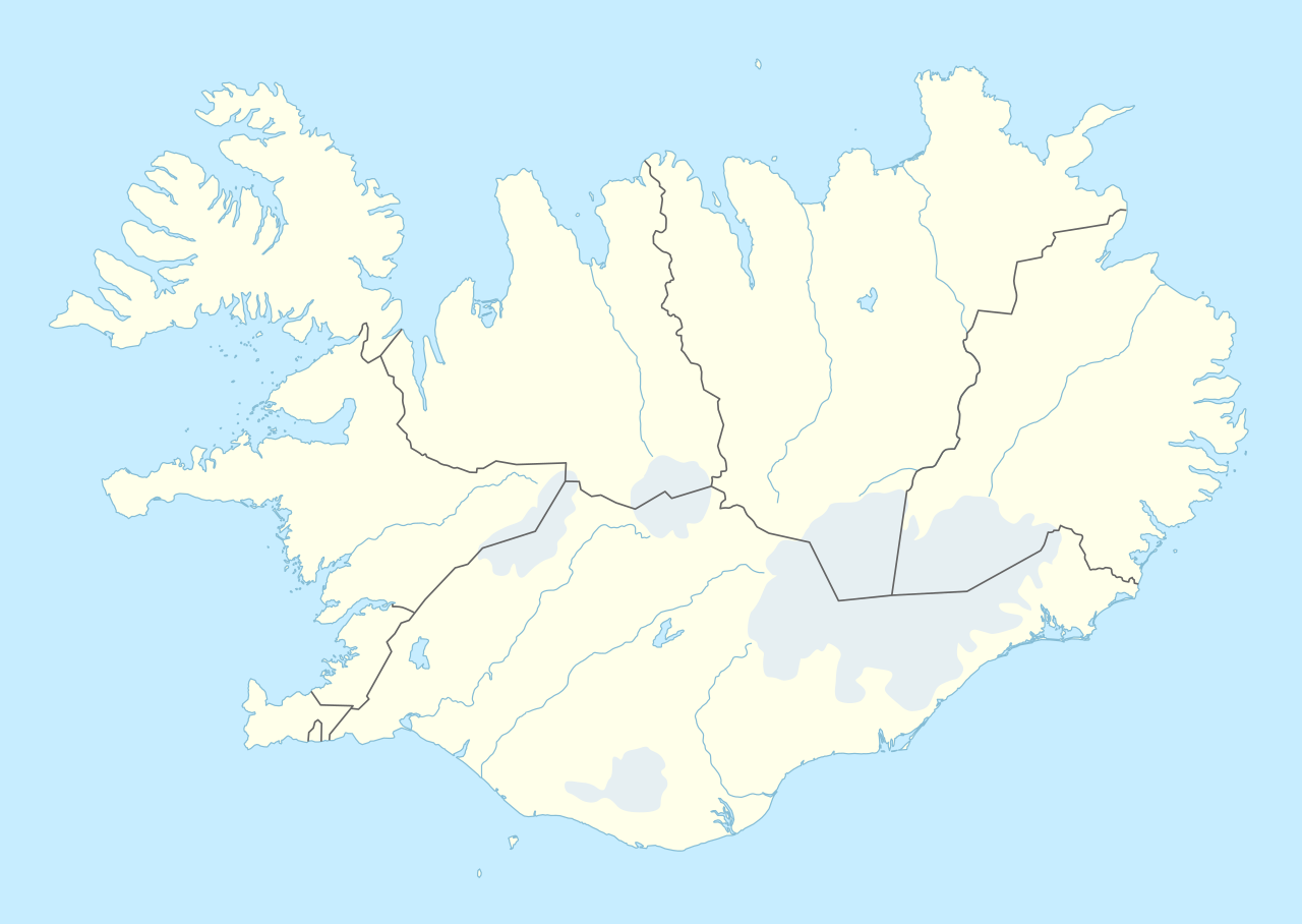
Deutsch: Positionskarte von Island
English: Location map of Iceland
|
||||||||||||
| 日期 | |||||||||||||
| 来源 |
个人作品,使用:
|
||||||||||||
| 作者 | NordNordWest | ||||||||||||

|
|
许可协议
Usage of this file with:

explanatory notes: Legally binding is only the full legalcode. For a free usage I recommend to respect the following licence conditions:
1. Provide my name as given above: NordNordWest,
2. a copy of, or the URI for, the applicable license: https://creativecommons.org/licenses/by-sa/3.0/de/legalcode,
3. the title of the work,
4. in the case of an adaptation, a credit identifying the use of the work in the adaptation.
This license and the rights granted hereunder will terminate automatically upon any breach by you of the terms of this license. Any of the above conditions can be waived if you get permission from the copyright holder. If you have questions or wish differing conditions, please contact me through nnwest or my discussion page ![]() t-online.de
t-online.de
- 您可以自由地:
- 共享 – 复制、发行并传播本作品
- 修改 – 改编作品
- 惟须遵守下列条件:
- 署名 – 您必须对作品进行署名,提供授权条款的链接,并说明是否对原始内容进行了更改。您可以用任何合理的方式来署名,但不得以任何方式表明许可人认可您或您的使用。
- 相同方式共享 – 如果您再混合、转换或者基于本作品进行创作,您必须以与原先许可协议相同或相兼容的许可协议分发您贡献的作品。

文件历史
点击某个日期/时间查看对应时刻的文件。
| 日期/时间 | 缩略图 | 大小 | 用户 | 备注 | |
|---|---|---|---|---|---|
| 当前 | 2022年11月11日 (五) 18:25 | | 1,186 × 841(145 KB) | NordNordWest | upd |
| 2018年11月19日 (一) 18:46 |  | 1,186 × 841(145 KB) | NordNordWest | complete version again | |
| 2018年11月19日 (一) 03:26 |  | 1,186 × 841(226 KB) | A Red Cherry | Many border shifts; updated to a newer SVG locator map | |
| 2014年9月15日 (一) 17:24 |  | 1,186 × 841(145 KB) | NordNordWest | == {{int:filedesc}} == {{Information |Description= {{de|1=Positionskarte von Island}} {{en|1=Location map of Iceland}} {{Location map series N |top=66.8 |bottom=63.1 |left=-25 |right=-13 }} |Source={{Own using}} * United States National Imagery and Map... |
文件用途
以下页面使用本文件:
全域文件用途
以下其他wiki使用此文件:
- af.wikipedia.org上的用途
- an.wikipedia.org上的用途
- ast.wikipedia.org上的用途
- Eyjafjallajökull
- Eyjafjöll
- Þingvellir
- Keflavík
- Eyjafjörður
- Snæfellsnes
- Faxaflói
- Blönduósbær
- Skógafoss
- Faxi
- Dynjandi
- Seljalandsfoss
- Parque nacional Skaftafell
- Gullfoss
- Glymur
- Drangajökull
- Viðey
- Geirfuglasker
- Elliðaey
- Eldey
- Reikiavik
- Faloteca islandesa
- Kverkfjöll
- Alþingishúsið
- Laki
- Módulu:Mapa de llocalización/datos/Islandia
- Laugardalsvöllur
- Úrvalsdeild Karla
- Aeropuertu Internacional de Keflavík
- Aeropuertu d'Akureyri
- Aeropuertu de Bíldudalur
- Aeropuertu d'Egilsstaðdir
- Aeropuertu de Reikiavik
查看本文件的更多全域用途。