File:Lake Kisale Satellite Image.jpg
此为最大尺寸。
Lake_Kisale_Satellite_Image.jpg (512 × 512像素,文件大小:29 KB,MIME类型:image/jpeg)
摘要
| 相机位置 | | 在以下服务上查看本图像和附近其他图像: OpenStreetMap |
|---|
| 描述 |
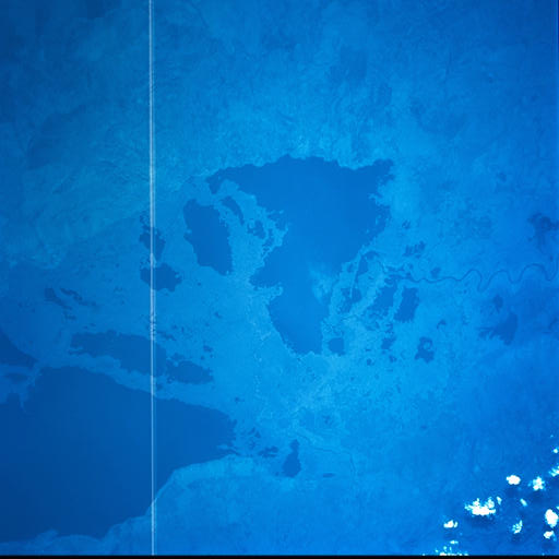
English: Lake Kisale, Democratic Republic of the Congo. |
| 日期 | |
| 来源 | http://eol.jsc.nasa.gov/scripts/sseop/photo.pl?mission=STS093&roll=730&frame=52 |
| 作者 | Image Science and Analysis Laboratory, NASA-Johnson Space Center. "The Gateway to Astronaut Photography of Earth." |
许可协议
| 本文件完全由NASA创作,在美国属于公有领域。根据NASA的版权方针,NASA的材料除非另有声明否则不受版权保护。(参见Template:PD-USGov/zh、NASA版权方针页面或JPL图片使用方针。) | ||
 |
警告:
|
文件历史
点击某个日期/时间查看对应时刻的文件。
| 日期/时间 | 缩略图 | 大小 | 用户 | 备注 | |
|---|---|---|---|---|---|
| 当前 | 2011年12月6日 (二) 00:21 | | 512 × 512(29 KB) | Rotatebot | Bot: Image rotated by 270° |
| 2011年12月3日 (六) 19:53 |  | 519 × 512(29 KB) | Aymatth2 |
文件用途
以下页面使用本文件:
全域文件用途
以下其他wiki使用此文件:
- en.wikipedia.org上的用途
- nl.wikipedia.org上的用途
- pl.wikipedia.org上的用途