File:Peru location map.svg

此SVG文件的PNG预览的大小:492 × 599像素。 其他分辨率:197 × 240像素 | 394 × 480像素 | 631 × 768像素 | 841 × 1,024像素 | 1,682 × 2,048像素 | 2,200 × 2,679像素。
原始文件 (SVG文件,尺寸为2,200 × 2,679像素,文件大小:15.72 MB)
摘要
| 描述 |
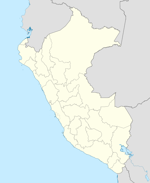
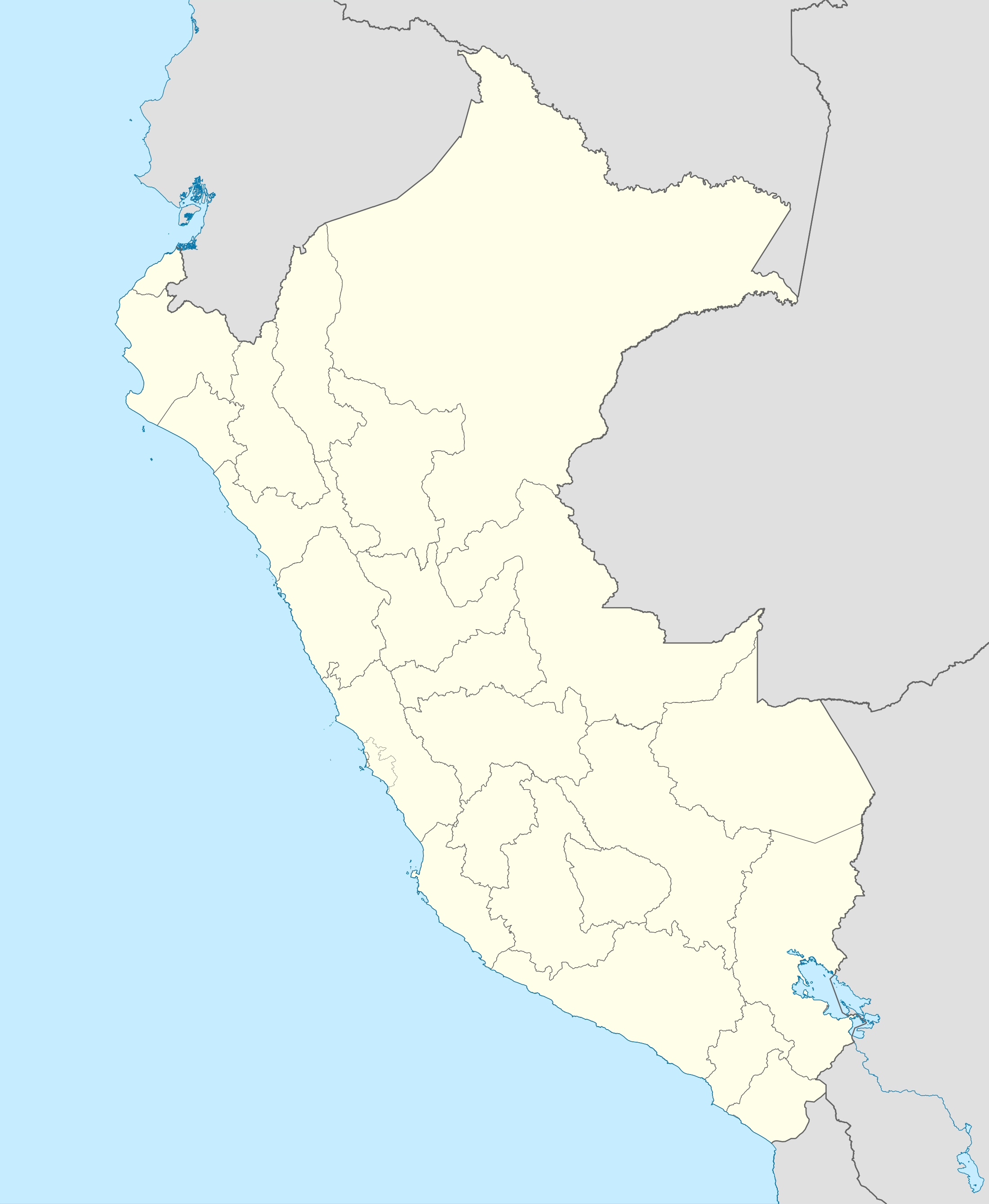
English: Blank political map of Peru
Equirectangular projection, Geographic limits of the map:
|
| 日期 | (UTC) |
| 来源 | Peru_-_(Template).svg |
| 作者 | User:Spischot |
.svg)
| 这是一张修改过的图片,这意味着它已在原版本的基础上通过软件进行了编辑,改动内容:Changed style to conform location maps 2008。其原始版本为:Peru - (Template).svg。修改者:Spischot。
|
许可协议
我,本作品著作权人,特此采用以下许可协议发表本作品:
本文件采用知识共享署名-相同方式共享 3.0 未本地化版本许可协议授权。
- 您可以自由地:
- 共享 – 复制、发行并传播本作品
- 修改 – 改编作品
- 惟须遵守下列条件:
- 署名 – 您必须对作品进行署名,提供授权条款的链接,并说明是否对原始内容进行了更改。您可以用任何合理的方式来署名,但不得以任何方式表明许可人认可您或您的使用。
- 相同方式共享 – 如果您再混合、转换或者基于本作品进行创作,您必须以与原先许可协议相同或相兼容的许可协议分发您贡献的作品。
原始上传日志
This image is a derivative work of the following images:
- File:Peru_-_(Template).svg licensed with Cc-by-sa-3.0
- 2009-07-21T07:54:54Z Huhsunqu 820x1000 (1674312 Bytes) detail map
- 2009-07-15T06:39:44Z Huhsunqu 820x1000 (1396540 Bytes) ANCHOS
- 2009-07-06T05:07:34Z Huhsunqu 820x1000 (1398457 Bytes) {{Information |Description={{en|1=Blank political map of Perú}} {{es|1=Mapa plantilla de las regiones y departamentos del Perú.}} |Source=trabajo propio (own work) |Author=[[User:Huhsunqu|Huhsunqu]] |Date=2009-07-05 |Permis
Uploaded with derivativeFX
文件历史
点击某个日期/时间查看对应时刻的文件。
| 日期/时间 | 缩略图 | 大小 | 用户 | 备注 | |
|---|---|---|---|---|---|
| 当前 | 2023年3月12日 (日) 00:52 | | 2,200 × 2,679(15.72 MB) | Waterloo1883 | Corrección del marco izquierdo y disminución del grosor de los limites administrativos. |
| 2020年12月23日 (三) 22:15 |  | 1,033 × 1,258(13.78 MB) | Waterloo1883 | Límites departamentales actuales. | |
| 2018年5月1日 (二) 19:20 |  | 820 × 1,000(777 KB) | Janitoalevic | Fixed size | |
| 2018年5月1日 (二) 18:54 |  | 875 × 1,067(775 KB) | Janitoalevic | *Fixed coastline, international and internal borders. *Added San Lorenzo island *Better Lake Titicaca | |
| 2009年10月23日 (五) 21:33 |  | 820 × 1,000(807 KB) | Spischot | {{Information |Description={{en|1=Blank political map of en:Peru}} Equirectangular projection, Geographic limits of the map: * N: 0.73° N * S: 19.36° S * W: 83.25° W * E: 66.75° W |Source=*File:Peru_-_(Template).svg |Date=2009-10-23 21:27 |
.svg)
文件用途
以下53个页面使用本文件:
- 1927年南美足球錦標賽
- 1935年南美足球錦標賽
- 1939年南美足球錦標賽
- 1953年南美足球錦標賽
- 1957年南美足球錦標賽
- 2004年美洲國家盃
- 2005年國際足協U-17世界錦標賽
- 万卡约
- 丘盧卡納斯
- 伊卡
- 伊基托斯
- 卡亞俄
- 卡斯馬
- 卡藍卡斯撞擊事件
- 印加曼科加帕克国际机场
- 圣地亚哥-德考
- 基亞班巴
- 塔克纳
- 奇克拉约
- 尤里馬瓜斯
- 巴约瓦尔
- 帕卡斯馬約
- 庫斯科
- 拉林科纳达 (秘鲁)
- 普卡尔帕
- 普卡拉區 (萬卡約省)
- 普诺
- 查拉 (秘鲁)
- 洛维托斯
- 派塔
- 特鲁希略 (秘鲁)
- 皮乌拉
- 皮门特尔
- 科兰 (秘鲁)
- 秘鲁世界遗产名录
- 納斯卡
- 索里托斯
- 聖羅薩德基韋斯區
- 胡利亞卡
- 苏佩港
- 莫延多
- 蘭帕
- 钦博特
- 钦查群岛
- 钱凯
- 阿亚库乔
- 阿亞瓦卡
- 阿桑加羅
- 阿雷基帕
- 馬爾多納多港
- 马拉 (秘鲁)
- User:Hoyalang/Sandbox/愛拉航空
- Template:Location map Peru
全域文件用途
以下其他wiki使用此文件:
- af.wikipedia.org上的用途
- an.wikipedia.org上的用途
- ar.wikipedia.org上的用途
- ast.wikipedia.org上的用途
- Llagu Titicaca
- Ríu Amazones
- Lima
- Rumicolca
- Base aérea El Pato
- Concepción (Perú)
- Ríu Apurímac
- Mismi
- Ríu Madre de Dios
- Cuzco
- Sacsayhuamán
- Jenaro Herrera (Perú)
- Palaciu Llexislativu del Perú
- La Rinconada (Perú)
- Santuariu históricu de Machu Picchu
- Tabayones les Trés Hermanes
- Tabayón Yumbilla
- Catarata Gocta
- Huandoy
- Huascarán
- Yerupajá
- Módulu:Mapa de llocalización/datos/Perú
- Módulu:Mapa de llocalización/datos/Perú/usu
- Copa América 2004
- Campeonatu Descentralizáu 2018
- Callao
- Universidá Inca Garcilaso de la Vega
- Aeropuertu Alf. FAP David Figueroa Fernandini
- Aeropuertu Cadete FAP Guillermo del Castillo Paredes
- Aeropuertu Capitán FAP Renán Elías Olivera
- Aeropuertu Francisco Carlé
- Aeropuertu Internacional Alejandro Velasco Astete
- Aeropuertu Internacional Capitán FAP José A. Quiñones
- Aeropuertu Internacional Coronel FAP Carlos Ciriani Santa Rosa
- Aeropuertu Internacional Inca Manco Cápac
查看本文件的更多全域用途。