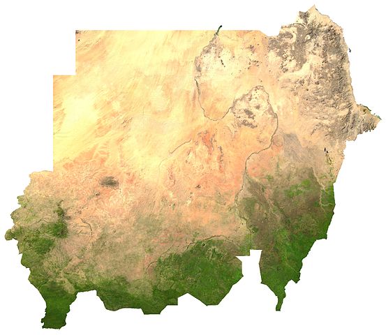
File:Sudan sat.jpg

本预览的尺寸:690 × 599像素。 其他分辨率:276 × 240像素 | 553 × 480像素 | 885 × 768像素 | 1,179 × 1,024像素 | 2,058 × 1,787像素。
原始文件 (2,058 × 1,787像素,文件大小:977 KB,MIME类型:image/jpeg)
ECW to TIFF to JPEG (100% quality; progressive formatting).
| This file is in the public domain, because it was generated by a user, using free sources available at The Map Library.
Note that this does not include the maps in the Global Administrative Areas section of the homepage. |
文件历史
点击某个日期/时间查看对应时刻的文件。
| 日期/时间 | 缩略图 | 大小 | 用户 | 备注 | |
|---|---|---|---|---|---|
| 当前 | 2017年2月17日 (五) 19:06 | | 2,058 × 1,787(977 KB) | Ammar1ah | Reverted to version as of 01:02, 1 August 2011 (UTC) |
| 2017年1月21日 (六) 21:21 |  | 690 × 599(192 KB) | عادل | borders correction | |
| 2011年8月1日 (一) 01:02 |  | 2,058 × 1,787(977 KB) | LouisianaFan~commonswiki | New borders | |
| 2006年7月13日 (四) 03:45 |  | 2,015 × 2,363(3.4 MB) | Unquietwiki | ECW to TIFF to JPEG (100% quality; progressive formatting). {{PD-MapLibrary}} |
文件用途
全域文件用途
以下其他wiki使用此文件:
- af.wikipedia.org上的用途
- ar.wikipedia.org上的用途
- avk.wikipedia.org上的用途
- ba.wikipedia.org上的用途
- cs.wikipedia.org上的用途
- de.wikipedia.org上的用途
- en.wikipedia.org上的用途
- es.wikipedia.org上的用途
- eu.wikipedia.org上的用途
- fa.wikipedia.org上的用途
- fi.wikipedia.org上的用途
- fr.wikipedia.org上的用途
- hu.wikipedia.org上的用途
- id.wikipedia.org上的用途
- it.wikipedia.org上的用途
- ja.wikipedia.org上的用途
- ka.wikipedia.org上的用途
- li.wikipedia.org上的用途
- lt.wikipedia.org上的用途
- mdf.wikipedia.org上的用途
- ms.wikipedia.org上的用途
- mt.wikipedia.org上的用途
- mzn.wikipedia.org上的用途
- pt.wikipedia.org上的用途
- ro.wikipedia.org上的用途
- ru.wikipedia.org上的用途
查看本文件的更多全域用途。