File:Aerial view of Strépy-Thieu boat lift 6.jpg

本预览的尺寸:800 × 533像素。 其他分辨率:320 × 213像素 | 640 × 426像素 | 1,024 × 682像素 | 1,280 × 853像素 | 2,560 × 1,706像素 | 4,000 × 2,665像素。
原始文件 (4,000 × 2,665像素,文件大小:1.82 MB,MIME类型:image/jpeg)
摘要
| 描述 |
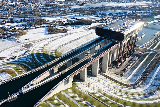
English: Aerial view of Strépy-Thieu boat lift |
| 日期 | |
| 来源 | https://audiovisual.ec.europa.eu/en/reportage/P-049813 |
| 作者 | Lukasz Kobus, European Commission |
| 相机位置 | | 在以下服务上查看本图像和附近其他图像: OpenStreetMap |
|---|
许可协议
 |
This file is from the Audiovisual Service website of the European Commission and is licensed under the Creative Commons Attribution 4.0 International license.
Note that the copyright holder on the website must be the European Commission, its predecessors (such as the Commission of the European Communities (CEC)), or the European Union. |
管理员或受信用户Sikander确认本图片在2024年4月9日可在下列站点找到并符合所选许可证:
https://audiovisual.ec.europa.eu/en/photo/P-049813~2F00-01 |
文件历史
点击某个日期/时间查看对应时刻的文件。
| 日期/时间 | 缩略图 | 大小 | 用户 | 备注 | |
|---|---|---|---|---|---|
| 当前 | 2021年6月16日 (三) 23:06 | | 4,000 × 2,665(1.82 MB) | Zoozaz1 | Uploaded a work by Lukasz Kobus, European Commission from https://audiovisual.ec.europa.eu/en/reportage/P-049813 with UploadWizard |
文件用途
以下页面使用本文件:
全域文件用途
以下其他wiki使用此文件:
- ca.wikipedia.org上的用途
- en.wikipedia.org上的用途
- fr.wikipedia.org上的用途
- hu.wikipedia.org上的用途
- ru.wikipedia.org上的用途
- www.wikidata.org上的用途