File:Cowley County Kansas Incorporated and Unincorporated areas Burden Highlighted.svg

此 SVG 檔案的 PNG 預覽的大小:800 × 360 像素。 其他解析度:320 × 144 像素 | 640 × 288 像素 | 1,024 × 461 像素 | 1,280 × 576 像素 | 2,560 × 1,152 像素 | 1,000 × 450 像素。
原始檔案 (SVG 檔案,表面大小:1,000 × 450 像素,檔案大小:110 KB)
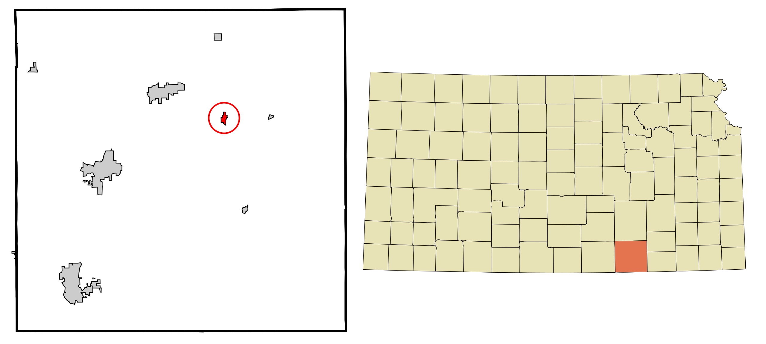
| 描述 | This map shows the incorporated and unincorporated areas in Cowley County, Kansas, highlighting Burden in red. It was created with a custom script with US Census Bureau data and modified with Inkscape. |
| 日期 | |
| 來源 | My own work, based on public domain information. Based on similar map concepts by Ixnayonthetimmay |
| 作者 | Arkyan |
我,本作品的著作權持有者,決定用以下授權條款發佈本作品:

|
已授權您依據自由軟體基金會發行的無固定段落、封面文字和封底文字GNU自由文件授權條款1.2版或任意後續版本,對本檔進行複製、傳播和/或修改。該協議的副本列在GNU自由文件授權條款中。 |
| 此檔案採用創用CC 姓名標示-相同方式分享 3.0 未在地化版本授權條款。 | ||
| ||
| 已新增授權條款標題至此檔案,作為GFDL授權更新的一部份。 |
您可以選擇您需要的授權條款。
檔案歷史
點選日期/時間以檢視該時間的檔案版本。
| 日期/時間 | 縮圖 | 尺寸 | 使用者 | 備註 | |
|---|---|---|---|---|---|
| 目前 | 2015年2月2日 (一) 17:26 | | 1,000 × 450(110 KB) | Rcsprinter123 | Parkerfield |
| 2007年10月15日 (一) 18:23 |  | 1,000 × 450(109 KB) | ArkyBot~commonswiki | {{Information |Description=This map shows the incorporated and unincorporated areas in Cowley County, Kansas, highlighting Burden in red. It was created with a cu |
檔案用途
下列頁面有用到此檔案:
全域檔案使用狀況
以下其他 wiki 使用了這個檔案:
- azb.wikipedia.org 的使用狀況
- en.wikipedia.org 的使用狀況
- es.wikipedia.org 的使用狀況
- fa.wikipedia.org 的使用狀況
- it.wikipedia.org 的使用狀況
- sh.wikipedia.org 的使用狀況
- simple.wikipedia.org 的使用狀況
- sr.wikipedia.org 的使用狀況
- vi.wikipedia.org 的使用狀況