File:Map of Orono, Penobscot Country, Maine Highlighted.png
預覽大小:416 × 599 像素。 其他解析度:166 × 240 像素 | 504 × 726 像素。
原始檔案 (504 × 726 像素,檔案大小:85 KB,MIME 類型:image/png)
摘要
| 描述 | |
| 日期 | |
| 來源 | Source image taken from the United States Census Bureau's website me_cosub.pdf. Image was modified by User:SarekOfVulcan. |
| 作者 | Garrett Fitzgerald (SarekOfVulcan) (from U.S. Census Bureau source) |
| 授權許可 (重用此檔案) |
A United States Census Bureau / Government work is in the public domain, however, my modifications are licensed as follows: You may NOT use this image on your own web site or anywhere else unless you release this image and any derivative works (e.g. your web site) by following the terms of one of the following licenses. |
授權條款
我,本作品的著作權持有者,決定用以下授權條款發佈本作品:

|
已授權您依據自由軟體基金會發行的無固定段落、封面文字和封底文字GNU自由文件授權條款1.2版或任意後續版本,對本檔進行複製、傳播和/或修改。該協議的副本列在GNU自由文件授權條款中。 |
您可以選擇您需要的授權條款。
檔案歷史
點選日期/時間以檢視該時間的檔案版本。
| 日期/時間 | 縮圖 | 尺寸 | 使用者 | 備註 | |
|---|---|---|---|---|---|
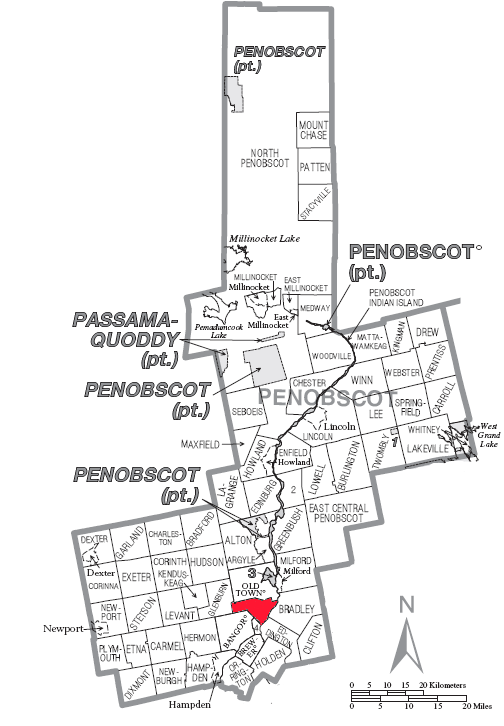
| 目前 | 2007年9月19日 (三) 19:30 | | 504 × 726(85 KB) | SarekOfVulcan | {{Information |Description= A map of en:Penobscot County showing en:Orono (town), Maine highlighted on the map. |Source= Source image taken from the United States Census Bureau's website [http://www2.census.gov/geo/maps/general_ref/cousub_outline/ |
檔案用途
下列頁面有用到此檔案:
全域檔案使用狀況
以下其他 wiki 使用了這個檔案:
- en.wikipedia.org 的使用狀況
- es.wikipedia.org 的使用狀況
- it.wikipedia.org 的使用狀況
- sh.wikipedia.org 的使用狀況
- sr.wikipedia.org 的使用狀況
- ur.wikipedia.org 的使用狀況