File:Mexico Puebla location map.svg

此 SVG 檔案的 PNG 預覽的大小:489 × 600 像素。 其他解析度:196 × 240 像素 | 391 × 480 像素 | 626 × 768 像素 | 835 × 1,024 像素 | 1,670 × 2,048 像素 | 2,043 × 2,506 像素。
原始檔案 (SVG 檔案,表面大小:2,043 × 2,506 像素,檔案大小:1.87 MB)
W3C-validity not checked.
| 描述 |
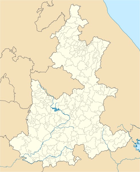
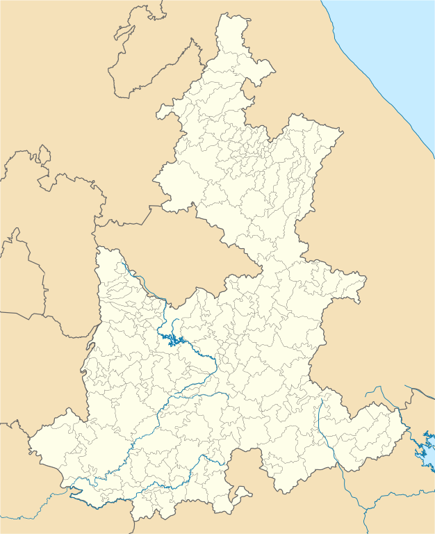
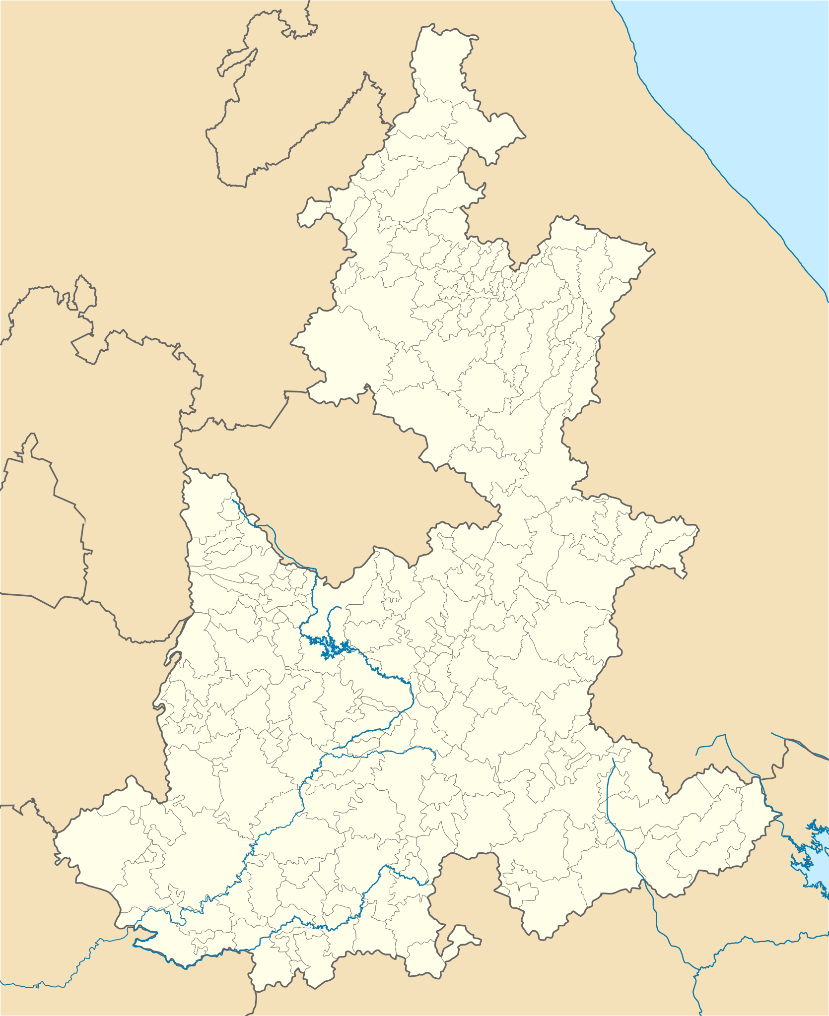
Location Map of Puebla Equirectangular projection, Geographic limits of the map:
|
| 日期 | |
| 來源 | 自己的作品 |
| 作者 | Battroid (talk) |
我,本作品的著作權持有者,決定用以下授權條款發佈本作品:
| 我,此作品的版權所有人,釋出此作品至公共領域。此授權條款在全世界均適用。 這可能在某些國家不合法,如果是的話: 我授予任何人有權利使用此作品於任何用途,除受法律約束外,不受任何限制。 |
檔案歷史
點選日期/時間以檢視該時間的檔案版本。
| 日期/時間 | 縮圖 | 尺寸 | 使用者 | 備註 | |
|---|---|---|---|---|---|
| 目前 | 2012年4月23日 (一) 06:25 | | 2,043 × 2,506(1.87 MB) | Battroid | {{ValidSVG}} {{Information |Description=Location Map of Puebla Equirectangular projection, Geographic limits of the map: * N: 20.9° N * S: 17.8° N * W: 99.25° W * E: 96.57° W |Source={{own work}} |Date=2012-04-23 |Author=[[User:Battr... |
| 2012年4月23日 (一) 06:18 |  | 2,043 × 2,506(1.87 MB) | Battroid | {{ValidSVG}} {{Information |Description=Location Map of Puebla Equirectangular projection, Geographic limits of the map: * N: 20.9° N * S: 17.8° N * W: 99.25° W * E: 96.57° W |Source={{own work}} |Date=2012-04-23 |Author=[[User:Battr... |
檔案用途
下列頁面有用到此檔案:
全域檔案使用狀況
以下其他 wiki 使用了這個檔案:
- ar.wikipedia.org 的使用狀況
- ast.wikipedia.org 的使用狀況
- bg.wikipedia.org 的使用狀況
- ceb.wikipedia.org 的使用狀況
- ce.wikipedia.org 的使用狀況
- de.wikipedia.org 的使用狀況
- Heroica Puebla de Zaragoza
- Atlixco
- Tehuacán
- Citlaltépetl
- Cholula de Rivadavia
- Iztaccíhuatl
- Wikipedia:Kartenwerkstatt/Positionskarten/Nordamerika
- Estadio Cuauhtémoc
- Tepeaca
- Huejotzingo
- Vorlage:Positionskarte Mexiko Puebla
- Sierra Negra
- Ciudad Serdán
- Ciudad de Cuetzalan
- Chipilo
- Estadio Universitario BUAP
- San Martín Texmelucan de Labastida
- Zacatlán
- Tlatlauquitepec
- Chignahuapan
- Pahuatlán
- Xicotepec de Juárez
- Nationalpark Pico de Orizaba
- Nationalpark Iztaccíhuatl-Popocatépetl
- San Andrés Calpan
- Tochimilco
- Tetela de Ocampo
- Huauchinango
- en.wikipedia.org 的使用狀況
檢視此檔案的更多全域使用狀況。