File:Census Bureau map of East Rutherford, New Jersey.png
此為最大尺寸。
Census_Bureau_map_of_East_Rutherford,_New_Jersey.png (575 × 425 像素,檔案大小:81 KB,MIME 類型:image/png)
摘要
| 描述 |
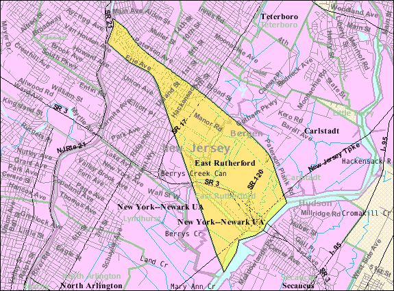
English: U.S. Census Bureau map of East Rutherford |
| 日期 | |
| 來源 | http://factfinder.census.gov . |
| 作者 | United States Census Bureau |
授權條款
This image or file is a work of a United States Census Bureau employee, taken or made as part of that person's official duties. As a work of the U.S. federal government, the image is in the public domain.
|
 |
原始上傳日誌
Transferred from en.wikipedia to Commons by Bk314159 using CommonsHelper.
The original description page was here. All following user names refer to en.wikipedia.
- 2008-01-02 13:34 Alansohn 575×425× (84822 bytes) {{Information |Description=Census Bureau map of East Rutherford, New Jersey |Source=[[United States Census Bureau]] |Date= |Location= |Author= |Permission= |other_versions= }}
原始上傳日誌
| 日期/時間 | 尺寸 | 用戶 | 備註 |
|---|---|---|---|
| 2012年一月18日, 00:53:55 | 575 × 425 (84822 bytes) | File Upload Bot (Magnus Manske) (對話 · 貢獻) | {{BotMoveToCommons|en.wikipedia|year={{subst:CURRENTYEAR}}|month={{subst:CURRENTMONTHNAME}}|day={{subst:CURRENTDAY}}}} {{Information |Description={{en|U.S. Census Bureau map of [[:en:East Rutherford, New Jersey|]]<br/> == Licensing ==}} |Source=Transferr |
檔案歷史
點選日期/時間以檢視該時間的檔案版本。
| 日期/時間 | 縮圖 | 尺寸 | 用戶 | 備註 | |
|---|---|---|---|---|---|
| 目前 | 2014年11月20日 (四) 07:24 | | 575 × 425(81 KB) | GifTagger | Bot: Converting file to superior PNG file. (Source: Census_Bureau_map_of_East_Rutherford,_New_Jersey.gif). This GIF was problematic due to non-greyscale color table. |
檔案用途
下列頁面有用到此檔案:
全域檔案使用狀況
以下其他 wiki 使用了這個檔案:
- bn.wikipedia.org 的使用狀況
- en.wikipedia.org 的使用狀況
- fa.wikipedia.org 的使用狀況
- id.wikipedia.org 的使用狀況
- sh.wikipedia.org 的使用狀況
- sv.wikipedia.org 的使用狀況
- ta.wikipedia.org 的使用狀況
- ur.wikipedia.org 的使用狀況