File:Carmarthenshire UK relief location map.jpg
預覽大小:769 × 599 像素。 其他解析度:308 × 240 像素 | 616 × 480 像素 | 986 × 768 像素 | 1,280 × 998 像素 | 1,999 × 1,558 像素。
原始檔案 (1,999 × 1,558 像素,檔案大小:428 KB,MIME 類型:image/jpeg)
| 描述 |
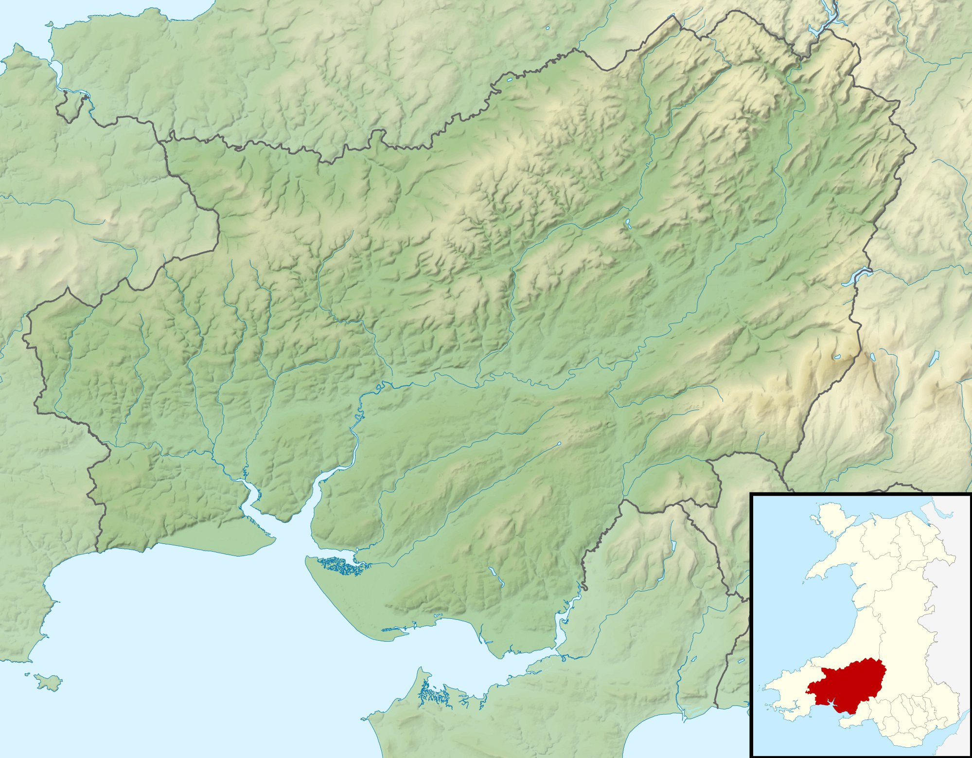
Relief map of Carmarthenshire, UK. Equirectangular map projection on WGS 84 datum, with N/S stretched 160% Geographic limits:
|
| 日期 | |
| 來源 |
|
| 作者 | Nilfanion, created using Ordnance Survey data |
| 授權許可 (重用此檔案) |
此檔案採用共享創意 姓名標示-相同方式分享 3.0 未在地化版本授權條款。 姓名標示: Contains Ordnance Survey data © Crown copyright and database right
|
| 其他版本 | File:Carmarthenshire UK map.svg - Blank map |
檔案歷史
點選日期/時間以檢視該時間的檔案版本。
| 日期/時間 | 縮圖 | 尺寸 | 用戶 | 備註 | |
|---|---|---|---|---|---|
| 目前 | 2011年11月30日 (三) 00:58 | | 1,999 × 1,558(428 KB) | Nilfanion | {{Information |Description=Relief map of Carmarthenshire, UK. Equirectangular map projection on WGS 84 datum, with N/S stretched 160% Geographic limits: *West: 4.75W *East: 3.58W *North: 52.15N *South: 51.58N |Source=[[w:Ordnance S |
檔案用途
下列頁面有用到此檔案:
全域檔案使用狀況
以下其他 wiki 使用了這個檔案:
- ar.wikipedia.org 的使用狀況
- ceb.wikipedia.org 的使用狀況
- cy.wikipedia.org 的使用狀況
- de.wikipedia.org 的使用狀況
- en.wikipedia.org 的使用狀況
- es.wikipedia.org 的使用狀況
- fr.wikipedia.org 的使用狀況
- ja.wikipedia.org 的使用狀況
- kn.wikipedia.org 的使用狀況
- pl.wikipedia.org 的使用狀況
- pl.wikibooks.org 的使用狀況
- si.wikipedia.org 的使用狀況
- tr.wikipedia.org 的使用狀況
- uz.wikipedia.org 的使用狀況
- war.wikipedia.org 的使用狀況