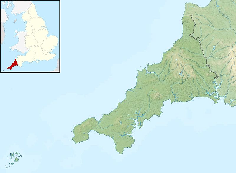
File:Cornwall UK relief location map.jpg

本预览的尺寸:800 × 588像素。 其他分辨率:320 × 235像素 | 640 × 470像素 | 1,024 × 753像素 | 1,280 × 941像素 | 1,999 × 1,469像素。
原始文件 (1,999 × 1,469像素,文件大小:227 KB,MIME类型:image/jpeg)
文件历史
点击某个日期/时间查看对应时刻的文件。
| 日期/时间 | 缩略图 | 大小 | 用户 | 备注 | |
|---|---|---|---|---|---|
| 当前 | 2011年11月29日 (二) 01:23 |  | 1,999 × 1,469(227 KB) | Nilfanion | {{Information |Description=Relief map of Cornwall, UK. Equirectangular map projection on WGS 84 datum, with N/S stretched 150% Geographic limits: *West: 6.47W *East: 4.00W *North: 51.04N *South: 49.83N |Source=[[w:Ordnance Survey|Ordnance |
文件用途
以下页面使用本文件:
全域文件用途
以下其他wiki使用此文件:
- ar.wikipedia.org上的用途
- bg.wikipedia.org上的用途
- ceb.wikipedia.org上的用途
- cs.wikipedia.org上的用途
- en.wikipedia.org上的用途
- Battle of Lostwithiel
- Longships, Cornwall
- Pentire Head
- Drift Reservoir
- St Mary's Lifeboat Station
- Kynance Cove
- Tintagel Old Post Office
- Dozmary Pool
- Tournament Players Championship (United Kingdom)
- Cornwall and West Devon Mining Landscape
- Padstow Lifeboat Station
- Hayle Estuary
- Module:Location map/data/United Kingdom Cornwall/doc
- Dodman Point
- Stepper Point
- Porth Reservoir
- Crowdy Reservoir
- Cribbar
- The Lizard Lifeboat Station
- Colliford Lake
- Falmouth Lifeboat Station
- Fowey Lifeboat Station
- St Ives Lifeboat Station
- Penlee Lifeboat Station
- Sennen Cove Lifeboat Station
- The Loe
- Stithians Reservoir
- Falmouth Synagogue
- Treverbyn Vean
- Helman Tor
- Upper Tamar Lake
- St Agnes Lifeboat Station, Isles of Scilly
- Port Isaac Lifeboat Station
- Basset Mines
- Penzance Lifeboat Station
- Carnon River
- Module:Location map/data/United Kingdom Cornwall
- Module:Location map/data/Cornwall
查看此文件的更多全域用途。
