File:AirportBlvd ThermalCalifornia.jpg
此為最大尺寸。
AirportBlvd_ThermalCalifornia.jpg (798 × 441 像素,檔案大小:60 KB,MIME 類型:image/jpeg)
摘要
| 描述 |
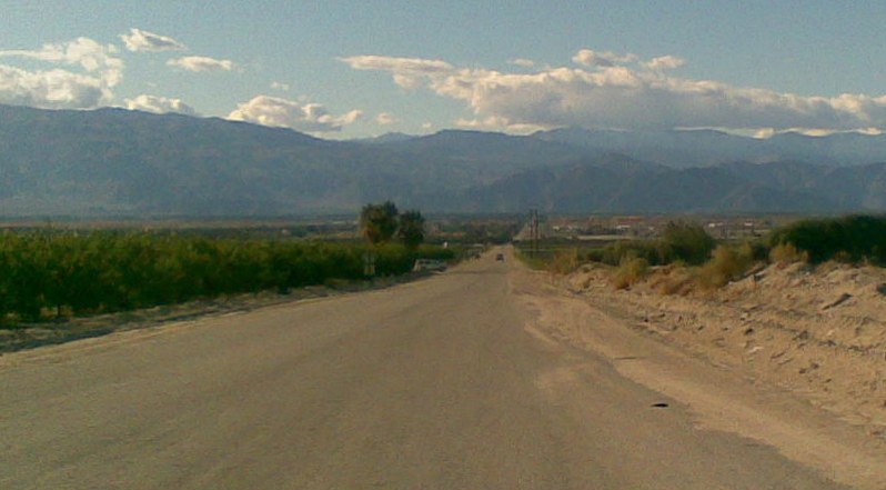
English: Thermal, California
view from east end of Airport Blvd looking west. grove on left side, grapes on right side.
|
||||
| 日期 | |||||
| 來源 | 自己的作品 | ||||
| 作者 | MarsRover |
授權條款
| 我,此作品的版權所有人,釋出此作品至公共領域。此授權條款在全世界均適用。 這可能在某些國家不合法,如果是的話: 我授予任何人有權利使用此作品於任何用途,除受法律約束外,不受任何限制。 |
檔案歷史
點選日期/時間以檢視該時間的檔案版本。
| 日期/時間 | 縮圖 | 尺寸 | 使用者 | 備註 | |
|---|---|---|---|---|---|
| 目前 | 2009年1月11日 (日) 07:13 | | 798 × 441(60 KB) | MarsRover | {{Information |Description={{en|1=Thermal, California view from east end of Airport Blvd looking west. grove on left side, grapes on right side.}} |Source=Own work by uploader |Author=MarsRover |Date=Dec 26, 2008 |Permission= |other_v |
檔案用途
下列頁面有用到此檔案:
全域檔案使用狀況
以下其他 wiki 使用了這個檔案:
- azb.wikipedia.org 的使用狀況
- ceb.wikipedia.org 的使用狀況
- ce.wikipedia.org 的使用狀況
- de.wikipedia.org 的使用狀況
- en.wikipedia.org 的使用狀況
- es.wikipedia.org 的使用狀況
- eu.wikipedia.org 的使用狀況
- fa.wikipedia.org 的使用狀況
- fr.wikipedia.org 的使用狀況
- it.wikipedia.org 的使用狀況
- lld.wikipedia.org 的使用狀況
- pl.wikipedia.org 的使用狀況
- sr.wikipedia.org 的使用狀況
- tt.wikipedia.org 的使用狀況
- uk.wikipedia.org 的使用狀況
- www.wikidata.org 的使用狀況