File:Church.20051224 PM.hollola of finland.ojp.jpg
預覽大小:800 × 533 像素。 其他解析度:320 × 213 像素 | 640 × 427 像素 | 1,024 × 683 像素 | 1,280 × 853 像素 | 2,976 × 1,984 像素。
原始檔案 (2,976 × 1,984 像素,檔案大小:310 KB,MIME 類型:image/jpeg)
| 描述 |
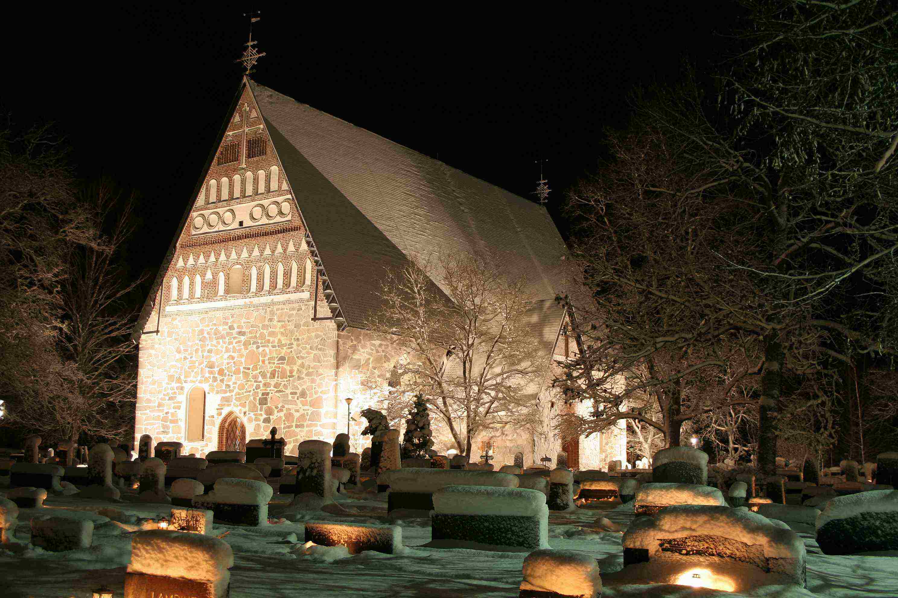
English: The Church of Hollola is a medieval stone church built in 1495–1510 during the end of the Catholic era, since the 1520s an Evangelic Lutheran church of the parish of Hollola
Suomi: Hollolan kirkko |
| 日期 | |
| 來源 | Self-published work by Olli-Jukka Paloneva |
| 作者 | Olli-Jukka Paloneva, paloneva@phnet.fi |
| 目標地點 | | 位於此地的本圖片與其他圖片: OpenStreetMap |
|---|
| 照相机型号 | Canon EOS 350D |
|---|---|
| 鏡頭 | Canon Zoom Lens EF-S 18–55 mm 1:3.5–5.6 II |
| 我,此作品的版權所有人,釋出此作品至公共領域。此授權條款在全世界均適用。 這可能在某些國家不合法,如果是的話: 我授予任何人有權利使用此作品於任何用途,除受法律約束外,不受任何限制。 |
References
- The Evangelic Lutheran parish of Hollola
- The municipality of Hollola
- The regional municipal tourism information agency
檔案歷史
點選日期/時間以檢視該時間的檔案版本。
| 日期/時間 | 縮圖 | 尺寸 | 使用者 | 備註 | |
|---|---|---|---|---|---|
| 目前 | 2005年12月25日 (日) 16:19 | | 2,976 × 1,984(310 KB) | Ojp | The '''church of Hollola''' '''Building:''' stone church from the Middle Ages '''Built:''' 1495-1510 during the end of the Catholic era, since the 1520's an Evangelic Lutheran church of the parish of Hollola '''Geographical position''': N 61° 03 E 02 |
檔案用途
下列頁面有用到此檔案:
全域檔案使用狀況
以下其他 wiki 使用了這個檔案:
- ar.wikipedia.org 的使用狀況
- avk.wikipedia.org 的使用狀況
- de.wikipedia.org 的使用狀況
- en.wikipedia.org 的使用狀況
- es.wikipedia.org 的使用狀況
- et.wikipedia.org 的使用狀況
- fa.wikipedia.org 的使用狀況
- fi.wikipedia.org 的使用狀況
- fr.wikipedia.org 的使用狀況
- pl.wikipedia.org 的使用狀況
- pt.wikipedia.org 的使用狀況
- sq.wikipedia.org 的使用狀況
- sr.wikipedia.org 的使用狀況
- sv.wikipedia.org 的使用狀況
- tr.wikipedia.org 的使用狀況
- uk.wikipedia.org 的使用狀況