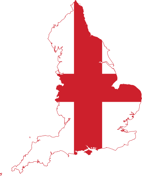
File:Flag map of England.svg

此 SVG 檔案的 PNG 預覽的大小:484 × 600 像素。 其他解析度:194 × 240 像素 | 387 × 480 像素 | 620 × 768 像素 | 826 × 1,024 像素 | 1,653 × 2,048 像素 | 485 × 601 像素。
原始檔案 (SVG 檔案,表面大小:485 × 601 像素,檔案大小:101 KB)
檔案歷史
點選日期/時間以檢視該時間的檔案版本。
| 日期/時間 | 縮圖 | 尺寸 | 使用者 | 備註 | |
|---|---|---|---|---|---|
| 目前 | 2016年7月13日 (三) 23:19 |  | 485 × 601(101 KB) | Stasyan117 | +smaller islands |
| 2016年5月1日 (日) 17:41 |  | 518 × 640(41 KB) | BurritoBazooka | (minor) adjust colour ever so slightly to be the same as the Flag of England file | |
| 2016年5月1日 (日) 16:52 |  | 518 × 640(41 KB) | BurritoBazooka | make page a little smaller (in pixels) | |
| 2016年5月1日 (日) 16:45 |  | 525 × 650(45 KB) | BurritoBazooka | clean up unused defs | |
| 2016年5月1日 (日) 15:52 |  | 525 × 650(292 KB) | BurritoBazooka | forgot to delete some cruft outside the page limit | |
| 2016年5月1日 (日) 15:49 |  | 525 × 650(323 KB) | BurritoBazooka | include islands which fall under England's administrative region, such as Isle of Wight. Reproduced from the regions map, and the flag shape used in this image. | |
| 2014年6月21日 (六) 10:48 |  | 448 × 595(83 KB) | AnonMoos | simplify | |
| 2011年1月25日 (二) 20:50 |  | 699 × 930(103 KB) | Fry1989 | {{Information |Description=Flag Map of England |Source=*File:Flag_of_England.svg *File:England_location_map.svg |Date=2011-01-25 20:41 (UTC) |Author=*File:Flag_of_England.svg: *File:England_location_map.svg: *[[:File:United_Kingdo |
檔案用途
下列17個頁面有用到此檔案:
全域檔案使用狀況
以下其他 wiki 使用了這個檔案:
- ar.wikipedia.org 的使用狀況
- باث
- كانتربيري
- نورتش
- هيستينغز
- دوفر
- نوتنغهام
- كنت
- مقاطعة سومرست (إنجلترا)
- ديفون
- كورنوال
- لنكولنشاير
- نورفك
- أكسفوردشير
- نورثمبرلاند
- إسكس
- سوفولك
- شرق ساسكس
- غرب ساسكس
- جنوب يوركشير
- دورست
- غلوسترشير
- باركشير
- بيدفوردشير
- باكينغهامشير
- هايغيت (لندن)
- سانت ألبانز
- نابتون
- ميدريج
- بيدفورد
- أولني
- بروسلي
- كينغزبري
- هولوواي (لندن)
- تاين ووير
- نهر كام
- تريسكو
- بوسطن (إنجلترا)
- جزر القناة الإنجليزية
- وركشير
- ساسكس
- كان (إنجلترا)
- مانشستر الكبرى
- يوركشاير
- قالب:بذرة جغرافيا إنجلترا
- ويسبري (ويلتشاير)
- واتن
- نوتنغهامشير
- براد اون افون
- تشبنهام
- بارنسلي
檢視此檔案的更多全域使用狀況。
