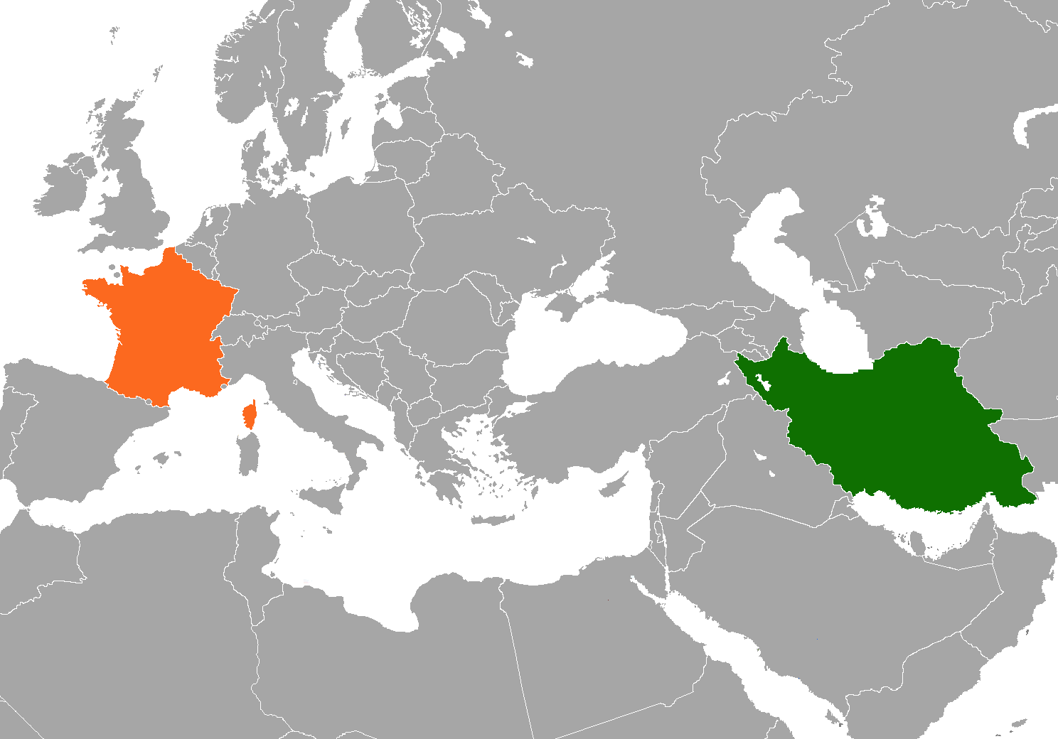
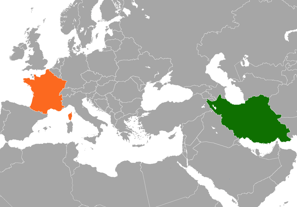
File:Iran France Locator.png
預覽大小:800 × 559 像素。 其他解析度:320 × 224 像素 | 640 × 447 像素 | 1,024 × 716 像素 | 1,280 × 895 像素 | 1,488 × 1,040 像素。
原始檔案 (1,488 × 1,040 像素,檔案大小:103 KB,MIME 類型:image/png)
檔案歷史
點選日期/時間以檢視該時間的檔案版本。
| 日期/時間 | 縮圖 | 尺寸 | 使用者 | 備註 | |
|---|---|---|---|---|---|
| 目前 | 2021年11月6日 (六) 18:04 | | 1,488 × 1,040(103 KB) | Aquintero82 | Updated color |
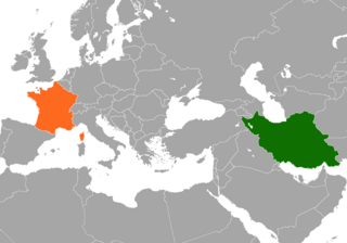
| 2017年8月23日 (三) 04:54 |  | 1,488 × 1,040(63 KB) | Fobos92 | . | |
| 2007年10月31日 (三) 12:00 |  | 294 × 142(6 KB) | ChrisDHDR | changed colours to those defined at en:w:Template:bilateral + focused on subject | |
| 2007年9月6日 (四) 10:59 |  | 1,425 × 625(31 KB) | ChrisDHDR | {{Information |Description=A map of w:en:France and w:en:Iran in relation of each other |Source=self-made |Date= |Author= ChrisDHDR }} |
檔案用途
下列頁面有用到此檔案:
全域檔案使用狀況
以下其他 wiki 使用了這個檔案:
- ar.wikipedia.org 的使用狀況
- es.wikipedia.org 的使用狀況
- fa.wikipedia.org 的使用狀況
- fa.wikiquote.org 的使用狀況
- fr.wikipedia.org 的使用狀況
- Wikipédia:Lumière sur/Septembre 2006
- Wikipédia:Lumière sur/Relations entre la France et l'Iran
- Portail:Relations internationales/Lumière sur...
- Wikipédia:Sélection/Politique française
- Portail:Asie/Lumière sur…/Articles de qualité
- Wikipédia:Sélection/France/Articles de qualité/L à Z
- Wikipédia:Sélection/Iran
- pt.wikipedia.org 的使用狀況