File:Map-Europe 1815-Netherlands.svg

此 SVG 檔案的 PNG 預覽的大小:710 × 600 像素。 其他解析度:284 × 240 像素 | 569 × 480 像素 | 910 × 768 像素 | 1,213 × 1,024 像素 | 2,426 × 2,048 像素 | 9,086 × 7,672 像素。
原始檔案 (SVG 檔案,表面大小:9,086 × 7,672 像素,檔案大小:1.73 MB)
檔案歷史
點選日期/時間以檢視該時間的檔案版本。
| 日期/時間 | 縮圖 | 尺寸 | 使用者 | 備註 | |
|---|---|---|---|---|---|
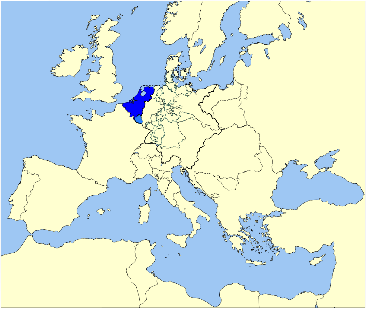
| 目前 | 2007年9月7日 (五) 13:46 | | 9,086 × 7,672(1.73 MB) | Sir Iain | {{Information |Description=Map of the United Kingdom of The Netherlands (1815-1830) in Europe |Source=Based on Image:Map-GermanConfederation.svg by User:52_Pickup |Date=5 sept 2007 |Author=User:Sir_Iain, User:52_Pickup |Permission= |other_ |
檔案用途
下列頁面有用到此檔案:
全域檔案使用狀況
以下其他 wiki 使用了這個檔案:
- be.wikipedia.org 的使用狀況
- br.wikipedia.org 的使用狀況
- en.wikipedia.org 的使用狀況
- he.wikipedia.org 的使用狀況
- lt.wikipedia.org 的使用狀況
- mr.wikipedia.org 的使用狀況
- nl.wikipedia.org 的使用狀況
- pl.wikipedia.org 的使用狀況
- pt.wikipedia.org 的使用狀況
- ro.wikipedia.org 的使用狀況
- simple.wikipedia.org 的使用狀況
- sv.wikipedia.org 的使用狀況
- tr.wikipedia.org 的使用狀況
- yo.wikipedia.org 的使用狀況