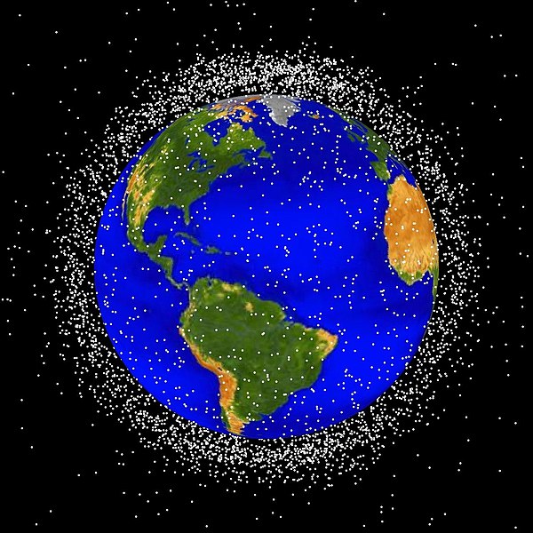
File:Debris-LEO1280.jpg

本预览的尺寸:600 × 600像素。 其他分辨率:240 × 240像素 | 480 × 480像素 | 768 × 768像素 | 1,024 × 1,024像素 | 1,280 × 1,280像素。
原始文件 (1,280 × 1,280像素,文件大小:258 KB,MIME类型:image/jpeg)
文件历史
点击某个日期/时间查看对应时刻的文件。
| 日期/时间 | 缩略图 | 大小 | 用户 | 备注 | |
|---|---|---|---|---|---|
| 当前 | 2005年2月1日 (二) 16:48 |  | 1,280 × 1,280(258 KB) | Srbauer | debris plot by NASA |
文件用途
全域文件用途
以下其他wiki使用此文件:
- ar.wikipedia.org上的用途
- ast.wikipedia.org上的用途
- bg.wikipedia.org上的用途
- ca.wikipedia.org上的用途
- cs.wikipedia.org上的用途
- da.wikipedia.org上的用途
- de.wikipedia.org上的用途
- Weltraummüll
- Weltraumhaftung
- Portal:Recht/Lesenswerte Artikel
- Benutzer:Bricktop1/Exzellente Artikel Raumfahrt
- Portal:Umwelt- und Naturschutz/Artikel des Monats
- Wikipedia:WikiProjekt Völkerrecht/Lesenswerte Artikel
- Benutzer:Jaybear
- Wikipedia Diskussion:Hauptseite/Artikel des Tages/Archiv/Vorschläge/2012/1
- Benutzer:Arieswings
- Wikipedia:Café/Bilderrätsel/Archiv/3
- Wikipedia:Auskunft/Archiv/2013/Woche 41
- Wikipedia:Hauptseite/Archiv/27. Januar 2012
- Weltraumrecht
- Wikipedia:Auskunft/Archiv/2016/Woche 41
- de.wiktionary.org上的用途
- es.wikipedia.org上的用途
- eu.wikipedia.org上的用途
- fr.wikipedia.org上的用途
- Débris spatial
- Orbite terrestre basse
- Discussion:Débris spatial
- Wikipédia:Boîtes utilisateur aversion
- Utilisateur:Taranzef
- Wikipédia:Statistiques des anecdotes de la page d'accueil/Visibilité des anecdotes (2018)
- Discussion:Débris spatial/LSV 15273
- Utilisatrice:Alpha Orionis643/Brouillon
- Wikipédia:Statistiques des anecdotes de la page d'accueil/Visibilité des anecdotes (2018)/2018 06
- Projet:Aide et accueil/Twitter/Tweets/archives/juin 2018
- Wikipédia:Le saviez-vous ?/Archives/2018
- Utilisateur:F123/Boîtes Utilisateur
- Utilisateur:Gogotus
- Modèle:Utilisateur anti pollution spatiale
- Utilisateur:IsItKandar
- hu.wikipedia.org上的用途
- it.wikipedia.org上的用途
- it.wikiquote.org上的用途
查看此文件的更多全域用途。


