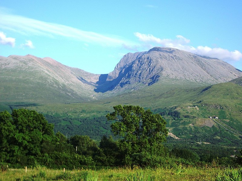
File:BenNevis2005.jpg

本预览的尺寸:800 × 600像素。 其他分辨率:320 × 240像素 | 640 × 480像素 | 1,024 × 768像素 | 1,280 × 960像素 | 2,048 × 1,536像素。
原始文件 (2,048 × 1,536像素,文件大小:432 KB,MIME类型:image/jpeg)
文件历史
点击某个日期/时间查看对应时刻的文件。
| 日期/时间 | 缩略图 | 大小 | 用户 | 备注 | |
|---|---|---|---|---|---|
| 当前 | 2005年7月20日 (三) 15:13 |  | 2,048 × 1,536(432 KB) | Thincat | Ben Nevis, Scotland. Photograph taken y myself, Thincat, July 2005. {{GFDL}} {{cc-by-sa-2.5}} UK |
文件用途
以下4个页面使用本文件:
全域文件用途
以下其他wiki使用此文件:
- af.wikipedia.org上的用途
- ang.wikipedia.org上的用途
- an.wikipedia.org上的用途
- ar.wikipedia.org上的用途
- arz.wikipedia.org上的用途
- ast.wikipedia.org上的用途
- azb.wikipedia.org上的用途
- az.wikipedia.org上的用途
- az.wiktionary.org上的用途
- be.wikipedia.org上的用途
- bn.wikipedia.org上的用途
- br.wikipedia.org上的用途
- bs.wikipedia.org上的用途
- ca.wikipedia.org上的用途
- ceb.wikipedia.org上的用途
- cs.wikipedia.org上的用途
- dag.wikipedia.org上的用途
- de.wikipedia.org上的用途
- en.wikipedia.org上的用途
- Ben Nevis
- Geography of the United Kingdom
- Munro
- Wikipedia:WikiProject Mountains/General
- User:Confusedmiked
- User talk:Hike395/Ben Nevis
- Geography of Scotland
- Lists of mountains and hills in the British Isles
- Banavie
- Portal:Scotland/Selected article/2007
- Portal:Scotland/Selected picture/2007
- Portal:Scotland/Selected picture/May, 2007
- Portal:Scotland/Selected article/Week 34, 2007
- User:Chubbennaitor/Userboxes
查看本文件的更多全域用途。
