用戶:O-ring/sandbox/1st
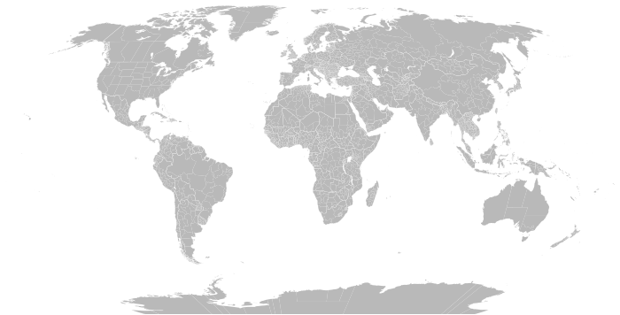
This Atlas of first-level administrative divisions shows maps of current first-level administrative subdivisions of sovereign states. Almost every country in the world has administrative divisions, which have different levels. For instance a country may be divided into states or provinces, then further subdivided into counties or municipalities. Some countries have as many as four or more levels of administrative divisions, for instance China has provinces divided into prefectures, further divided into counties and then into townships. This gallery shows maps of the largest administrative divisions, also called 'first level' or 'top-order' divisions of each country. For further information, refer to the accompanying article linked to below each image. For maps on the lower levels of administrative divisions, see the respective articles on the Table of administrative country subdivisions by country. Note that in some cases it is not clear which is the top level; some divisions may have limited use in government, such as the Regions of France or the Autonomous communities of Spain, and the Departments of France or Provinces of Spain may be seen as the first level. Also it may be unclear in some countries which are unions or federal states; countries or large areas may be seen as the primary level administrative division such as the Home Nations of the United Kingdom rather than its counties or the Walloon Region and Flemish Region of Belgium rather than its provinces. This gallery presents a graphical version of the first level of administrative divisions as listed in the accompanying table.

Maps are arranged by continent below. (For transcontinental countries, map is in the continent which the largest area of the country is located in)
Africa
編輯Asia
編輯Europe
編輯organised by UN subregions