File:UK Outline and Flag.svg

此SVG文件的PNG预览的大小:407 × 600像素。 其他分辨率:163 × 240像素 | 326 × 480像素 | 521 × 768像素 | 695 × 1,024像素 | 1,390 × 2,048像素 | 661 × 974像素。
原始文件 (SVG文件,尺寸为661 × 974像素,文件大小:109 KB)
| 描述 |
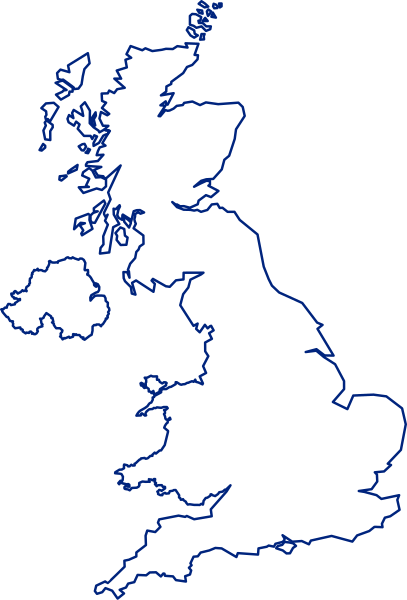
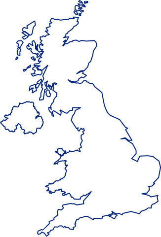
English: A map of the United Kingdom, overlaid with the UK flag.
Русский: Флаг-карта Соединённого Королевства |
||
| 日期 | |||
| 来源 | 自己的作品 | ||
| 作者 | Inductiveload | ||
| 授权 (二次使用本文件) |
|
||
| 其他版本 |
 |
||
| SVG开发 |
文件历史
点击某个日期/时间查看对应时刻的文件。
| 日期/时间 | 缩略图 | 大小 | 用户 | 备注 | |
|---|---|---|---|---|---|
| 当前 | 2021年7月24日 (六) 15:14 | | 661 × 974(109 KB) | GPinkerton | Improve flag geometry, remove Isle of Man (not strictly part of the UK). Shetland (definitely a part) still missing ... |
| 2015年1月10日 (六) 20:40 |  | 720 × 1,000(130 KB) | AnonMoos | Reverted to version as of 09:28, 15 January 2012 -- unfortunately, the new upload is less clear when displayed at a small size, and filesize was bloated over 1000% | |
| 2015年1月9日 (五) 16:03 |  | 419 × 750(1.71 MB) | Stasyan117 | border and islands | |
| 2012年1月15日 (日) 09:28 |  | 720 × 1,000(130 KB) | Gajmar | Blue borders | |
| 2008年2月3日 (日) 19:33 |  | 720 × 1,000(129 KB) | Inductiveload | fix white fill on borders | |
| 2008年2月3日 (日) 19:23 |  | 720 × 1,000(100 KB) | Inductiveload | {{Information |Description=A map of the United Kingdom, overlaid with the UK flag. |Source=self-made |Date=03/02/2008 |Author= Inductiveload |Permission={{PD-self}} |other_versions= }} Category:Maps of the United Kingdom |
文件用途
超过100个页面使用本文件。 下面的列表只显示使用本文件的前100个页面。完整列表可用。
- 下不列顛
- 东伦弗鲁郡
- 东洛锡安
- 东艾尔郡
- 中洛锡安
- 乔治敦 (阿森松岛)
- 亨特利
- 伊靈區
- 伍利奇
- 伍德斯托克 (牛津郡)
- 伦弗鲁郡
- 佩文西
- 克拉克曼南郡
- 克拉珀姆
- 克羅伊登區
- 克萊德河
- 兰迪岛
- 内赫布里底群岛
- 切斯特
- 劉易舍姆區
- 北泰因賽德
- 北艾尔郡
- 南希尔兹
- 南拉纳克郡
- 南泰因賽德
- 南艾尔郡
- 南華克區
- 卡姆登區
- 咸默史密夫
- 哈克尼區
- 哈默史密斯和富勒姆區
- 因弗克萊德
- 塔爾伯特港
- 外赫布里底群岛
- 奔宁山脉
- 奥克尔山
- 奥尔特灵厄姆
- 威德尔岛
- 安格尔西岛
- 安格斯 (蘇格蘭)
- 巴尼特區
- 巴金和達格納姆區
- 布倫特區
- 布拉克內爾
- 布羅姆利區
- 布里斯托尔湾
- 希靈登區
- 彼得伯勒
- 恩菲爾德區
- 慕禮
- 拉夫堡
- 拉干河
- 拉恩
- 摩特雷克
- 斯卡帕湾
- 斯托克韦尔
- 斯特灵 (苏格兰行政区)
- 斯肯索普
- 斯諾登山
- 旺茲沃思區
- 東英格蘭
- 東鄧巴頓郡
- 格兰瑟姆
- 格林威治區
- 格林德伯恩
- 格蘭扁山脈
- 比肯斯菲尔德
- 沃爾瑟姆森林區
- 波洛克索斯
- 泰晤士河畔列治文區
- 温布利
- 特威德河
- 福尔柯克
- 福斯河 (苏格兰)
- 紅橋區 (倫敦)
- 英国核心城市
- 英國國家格網參考系統
- 萨克斯·罗默
- 蒂利库特里
- 蒂斯河
- 蓋茨黑德
- 薩頓區
- 蘇豪區 (倫敦)
- 蘭貝斯區
- 西敏
- 西鄧巴頓郡
- 豪士羅區
- 赫姆島
- 車路士 (倫敦)
- 鄧弗里斯-加洛韋
- 阿伯丁郡
- 阿爾瓦 (蘇格蘭)
- 阿盖尔和比特
- 雅芳河 (沃里克郡)
- 雷威斯區
- 高地 (苏格兰行政区)
- 黑弗靈區
- 默頓區
- User:Clithering
- User:Howard61313
查看连接到这个文件的更多链接。
全域文件用途
以下其他wiki使用此文件:
- ace.wikipedia.org上的用途
- ar.wikipedia.org上的用途
- غرينتش
- جزر الأنتيل الكبرى
- غيرنزي
- قائمة مدن المملكة المتحدة
- خط الطول الأول (غرينتش)
- إكسمنستر
- جزر كايمان
- ويكيبيديا:صناديق المستخدم/بلدان
- دمبارتون
- شابينساي
- سان بيتر بورت
- بروفيدنسياليس
- جزيرة الطيور (المملكة المتحدة)
- سندرلاند
- بيليمينا
- تورفين
- تلة كليف
- الجمعية الجغرافية الملكية
- لوستويزيل
- نهر فاوي
- بولستيد
- كادسدن
- إنفرنيس
- أسكوت
- سالفورد
- وايت تشابل
- هارلو
- توتون
- دوكنج (نورفولك)
- سودرك
- هامرسميث
- لافيونا
- إيلي (كامبريدجشير)
- برايتون أند هوف
- تشيلمسفورد (إسكس)
- تشيتشستر
- ريبون (شمال يوركشير)
- مدينة ولز (إنجلترا)
- خليج ماساشوستس
- مستخدم:Sylvia Ford
- دونكاستر
- ويندرمير (كمبريا)
- ويندرمير
- وايتستابل
- ساوث سي
- لوثيان الشرقية
- آلدرني
- شوريهام
查看本文件的更多全域用途。